Youngs Rock to Warner Ridge
October 25, 2026
19.5 miles, 5150’ elevation gain
I hit the lower trailhead for the Youngs Rock trail, right across from Campers Flat campground, just before dawn in just below freezing weather. There were hunters driving the road spotlighting deer, but not, as far as I could see, having any luck. I did make sure I had some blaze orange visible as I headed up the trail.
And “up” is the operative word here. In the first four miles up to Youngs Rock this trail gains about 3000 feet in elevation. There are some flat stretches and a few short downhills, but much of this trail ranges from “uphill” to “stupidly steep.” It starts off with some relatively open meadows and loose forests, gradually transitioning to more solid pine forest as it gets further uphill. The trail is clear and gets plenty of traffic, both foot and bike, so blowdowns aren’t an issue. There are a lot of loose pine needles and dirt though, which make for slippery footing on the steeper stretches.
Even though it was still close to freezing, I stopped after a mile and shucked some layers. I was generating plenty of body heat and getting a good cardio workout too - when I checked at Youngs Rock, my pulse rate was more than double its usual resting value.
There’s a mildly sketchy off-camber section of loose rock as the trail makes its way around the eponymous outcroppings, but nothing to worry excessively about. After going around Youngs Rock the trail levels out a bit and starts going across the flanks of Warner Mountain rather than straight up the ridge.
A bit more than five miles up is the junction with the short (.3 mile) Moon Point Trail. The last time I was up here, a year and a half ago, this trail was several feet deep in late snow. Today it was clear, so I followed it out to the point. This is an easy, gently rising trail that mostly follows an old roadbed - I’d guess an old logging road, since none of this is old growth timber. There’s a short scrambly bit at the end of the trail (or what I consider the end…tracks make it clear that others have gone beyond the point where I felt at all comfortable), rewarded by some decent views (too overcast to see any distant peaks today) and an ammo box with a well-stocked geocache.
After taking some pictures, I made my way back down and continued up the last mile of the Youngs Creek trail. This section is pretty level and also follows an old roadbed. The upper trailhead is on FR 439 and shortly I was too, taking a right turn and heading (more) uphill for another two and a half miles or so. This took me to Warner Ridge Lookout, a (replica) fire lookout that you can rent some of the year. It was empty today, but the views were still decent, and I sat down in the lee of a cabin at the base to eat my lunch.
The wind was getting pretty stiff and clouds were rolling in at this point. I went up the fire tower as far as the first landing but didn’t go to the top - I expect the hatch in is locked and the conditions on the tower were nasty cold. I had considered going as far as Logger Butte, but I could see the weather rolling in so instead I turned around and started back down to the trailhead where I was parked. After half a mile I turned around again and hiked back up to the lookout where I’d left my hiking poles. Then I really hiked out.
On the way, I took a short road next to a large meadow of beargrass to the actual peak of Warner Mountain. There’s a comms tower there and not much else but a good view across to the lookout. Then it was back downhill to the car for me, arriving just about nine and a half hours after I set out.
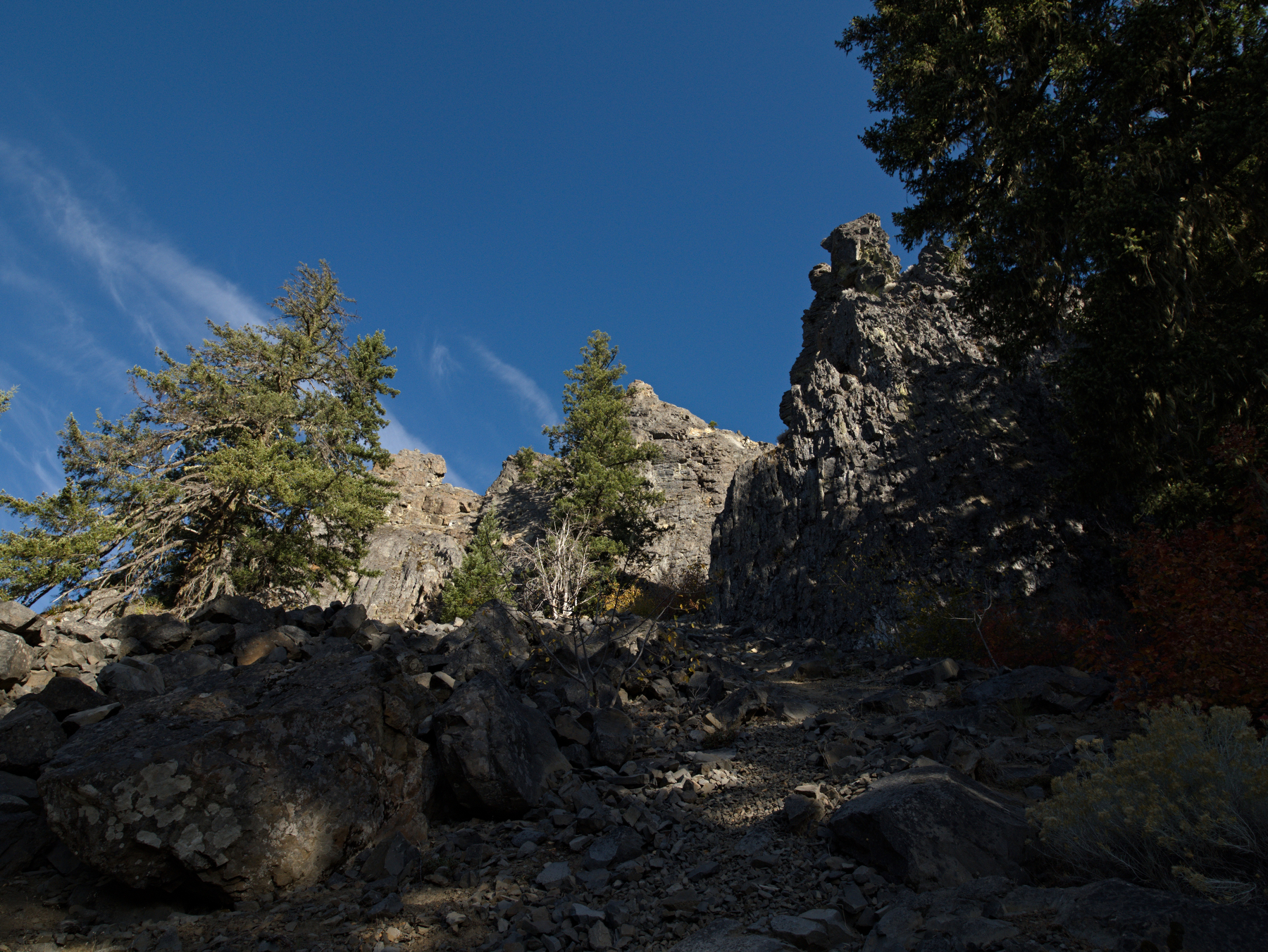 Spires of Youngs Rock
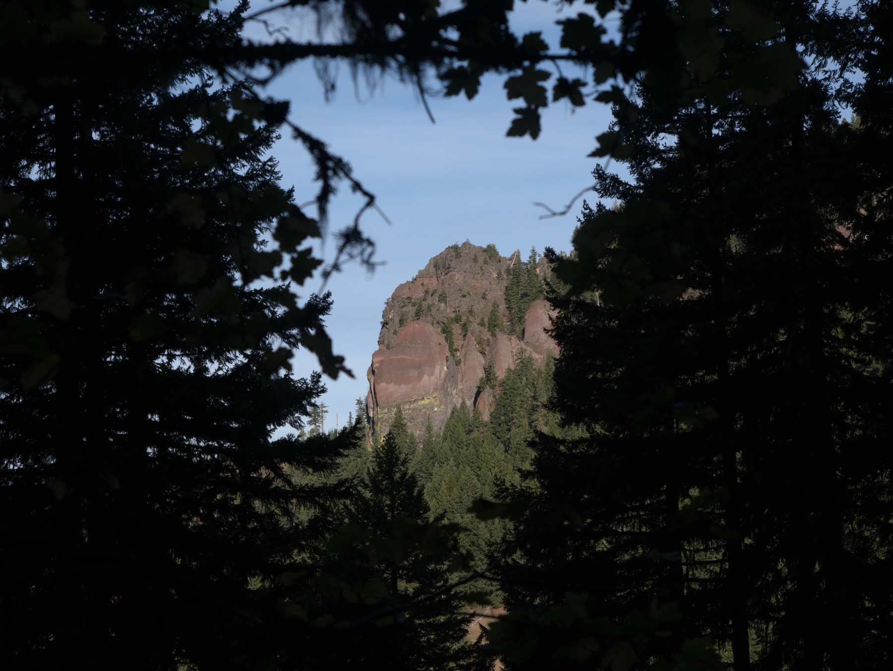 Moon Point glimpsed from Youngs Rock Trail
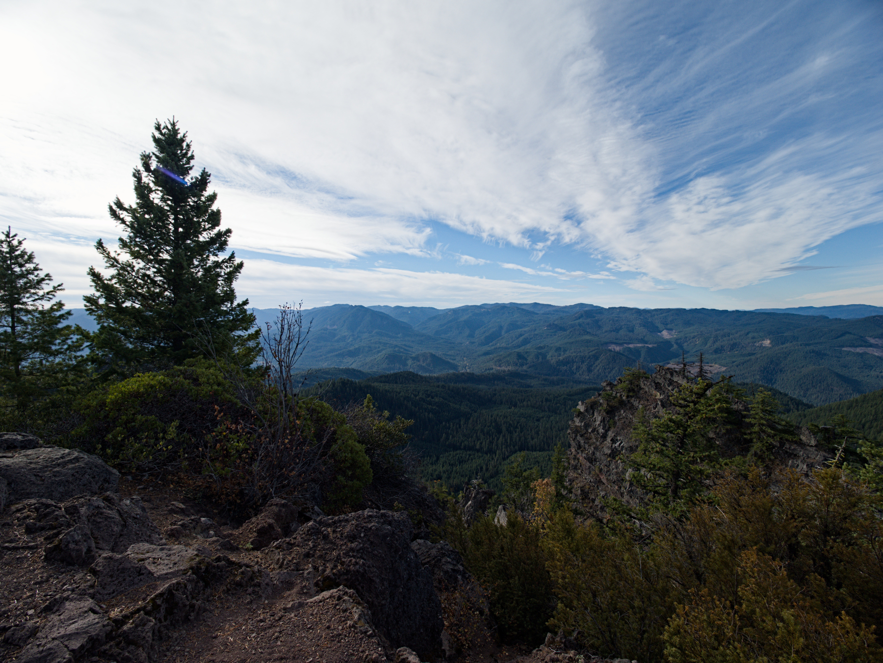 View from Moon Point
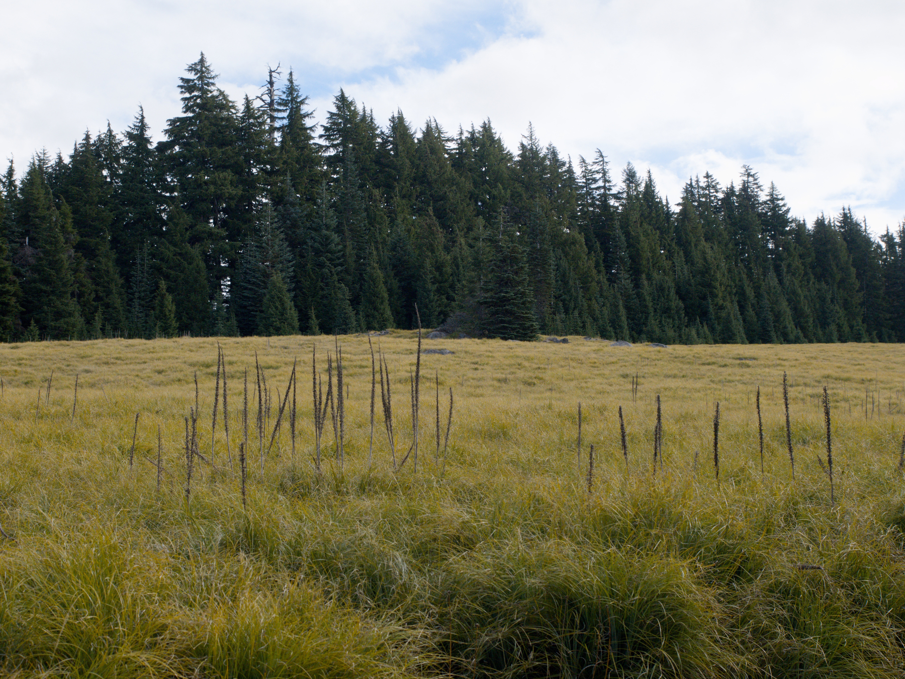 Beargrass meadow near the Warner Mountain summit
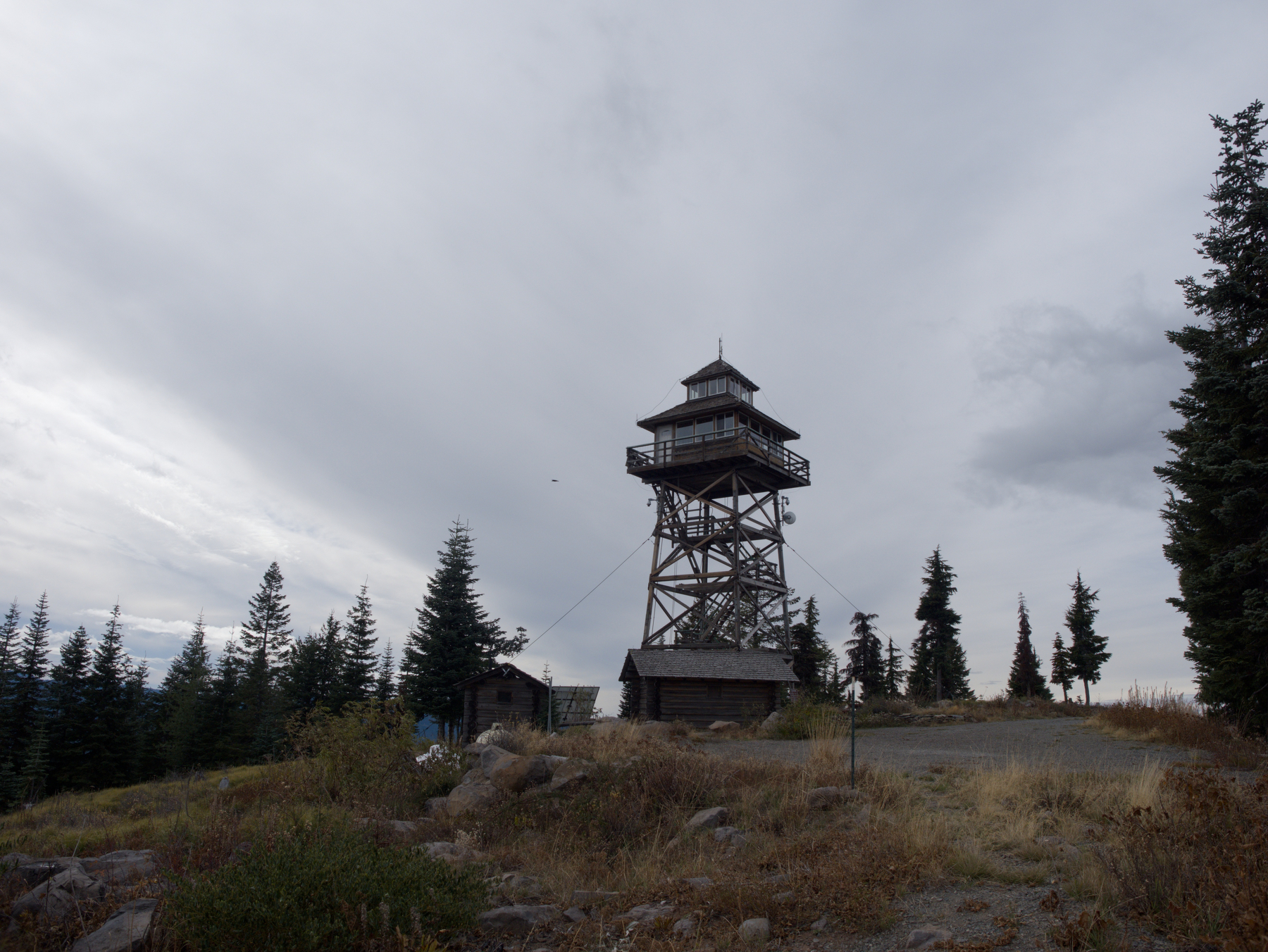 Warner Ridge Lookout