Verdun Trail
August 21, 2026
3.3 miles, 800’ elevation gain
The trailhead for this one is on FR 5883, a left turn immediately after the railroad trestle heading southeast out of Oakridge. The road is well-maintained gravel. There is currently some minor logging work back in there somewhere, and I had to dodge a truck that was coming down the road, but that was no big deal. The trailhead is marked by the usual hiker brown sign, though not with any trail name.
The first half mile is a fairly steep switchbacked climb up the Eagle Creek drainage, though there’s no easy creek access. Then the trail levels off for a while and passes through a couple of meadows where it’s pretty overgrown and hard to follow in spots. The bugs came out here, though I was moving fast enough to mostly ignore them. Eventually it crosses a little ridge, drops back down to an unnamed (and dry) creekbed and then heads sharply up again.
The trail peters out at another meadow that the maps call “Hells Half Acre.” Heck if I know why. This is just another meadow on the flanks of Verdun Rock. It might be nice at the peak of wildflower season, but in August it was just a mostly-dry bug magnet. I considered bushwhacking on up Verdun Rock, but then decided to just turn around and hike out.
This is another one that’s not worth the effort, especially given that the Eugene to Crest Trail and access to the Waldo Lake trail network are just a few miles further up the road.
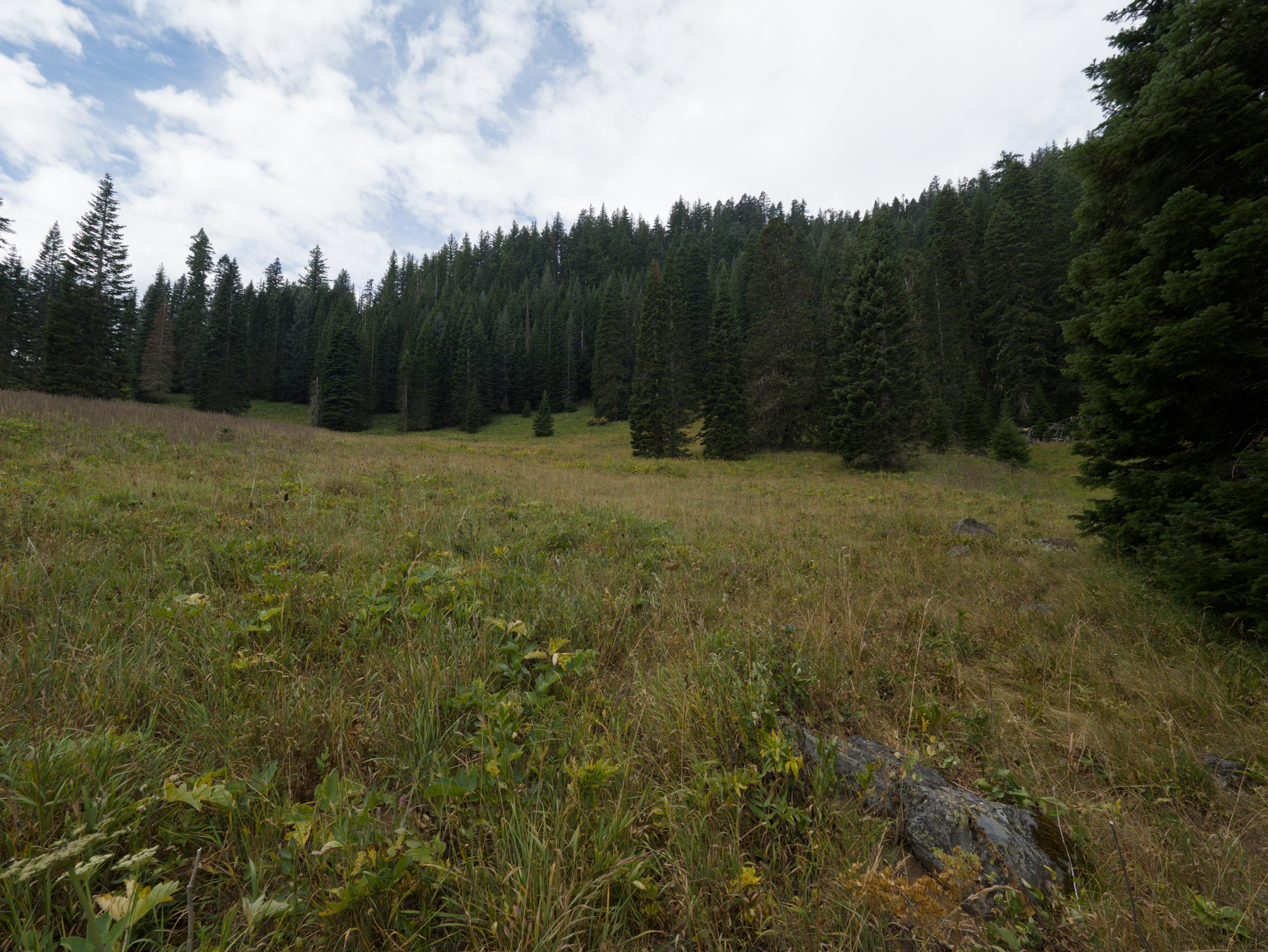 Hells Half Acre