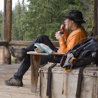
Owl Cabin Way to Bunchgrass
7.9 miles, 2080’ elevation gain
30 degrees at the trailhead at dawn - the first time I’ve been out before freezing this season, but I’m sure it won’t be the last. I started out at the bottom of Owl Cabin Way on FR 5877, aka Warner Creek Road. As I’ve mentioned in the past the start of the trail is nearly invisible from the road; look for a piece or two of flagging tape not far past a fairly wide pullout. There is a trail sign, but it can’t be seen until you’re a few yards up the trail.
Owl Cabin Way is a bit less than half a mile long and goes gently upwards, gaining only about 100 feet of elevation before it gets to the junction with the Eugene to Crest Trail, which is also the Bunchgrass Trail in this section. By the time I got to the intersection I was walking on a thin coating of crunchy snow from yesterday’s storm.
The “gentle” stops here. Over the next 7/10 of a mile the trail climbs 1000 feet up a series of switchbacks to the crest of Bunchgrass Ridge. The snow got gradually deeper as I headed uphill, and soon I was spotting tracks of birds, rabbits, deer, and bear. There are bears in the woods all the time, of course, but their presence becomes more evident with snow on the ground. Mostly the trail is in pretty decent shape, but there are some very steep sections here.
After topping out comes the worst section (at least of the pieces I hiked today), the .8 mile or so to where there’s a spur to a trailhead on FR 2408. Flagging tape and old blowdown cuts, as well as the trail depression and the fact that deer tend to follow the trail, made it possible to follow most of the trail, but I was definitely off-trail for some of this slow-going stretch. When I got to the FR 2408 trailhead I reoriented myself and picked up the actual trail again, which is traveled and depressed enough to be easily followed from here.
By this point the snow was 2 to 3 inches deep everywhere, and drifted up to 6 inches or so in places. It was pretty, but also had transitioned from crunchy to heavy and damp, so a bit of extra effort to hike through. Meadows full of beargrass were especially pretty, with endless hummocks of glittering crystals.
I continued as far as the 5497’ high point that some maps identify as the west peak of Bunchgrass Ridge. Here the trail gets much harder to follow, as I know from previous trips, and with deepening snow it was evident that I’d just be route-following as I headed down the next hillside. I decided that I’d had enough for one day, took a few more photos, and then headed back the way I’d come. I road-walked a bit to avoid the worst section at the start of the ridge.
Coming back down the steep section was very slow going, because enough of the snow was melting off to make the trail icy, slick and treacherous (and I stupidly didn’t have my microspikes along). I was back at the car about 5 1/2 hours after I’d left - a poor pace, even with a short lunch break, but better than falling down that last hill.
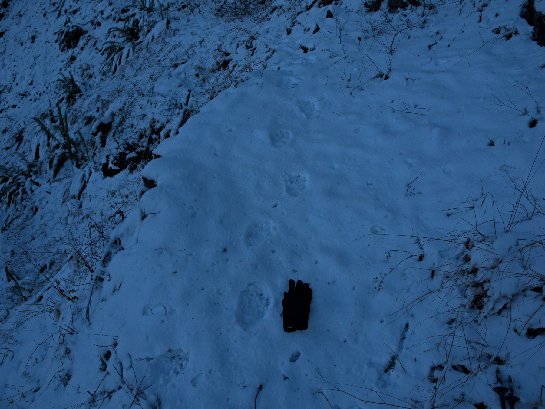 Bear tracks in the snow
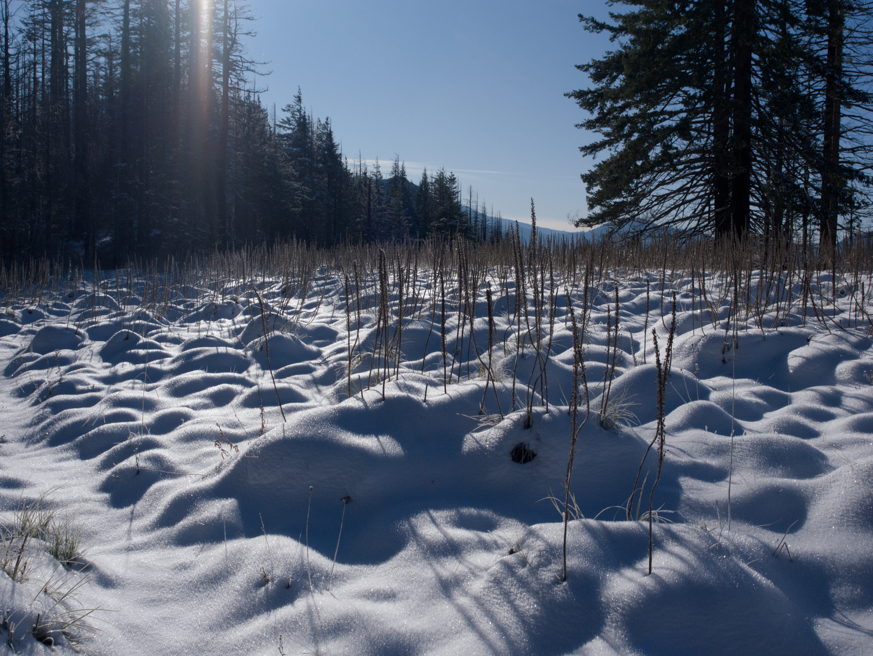 Snow-covered beargrass meadow
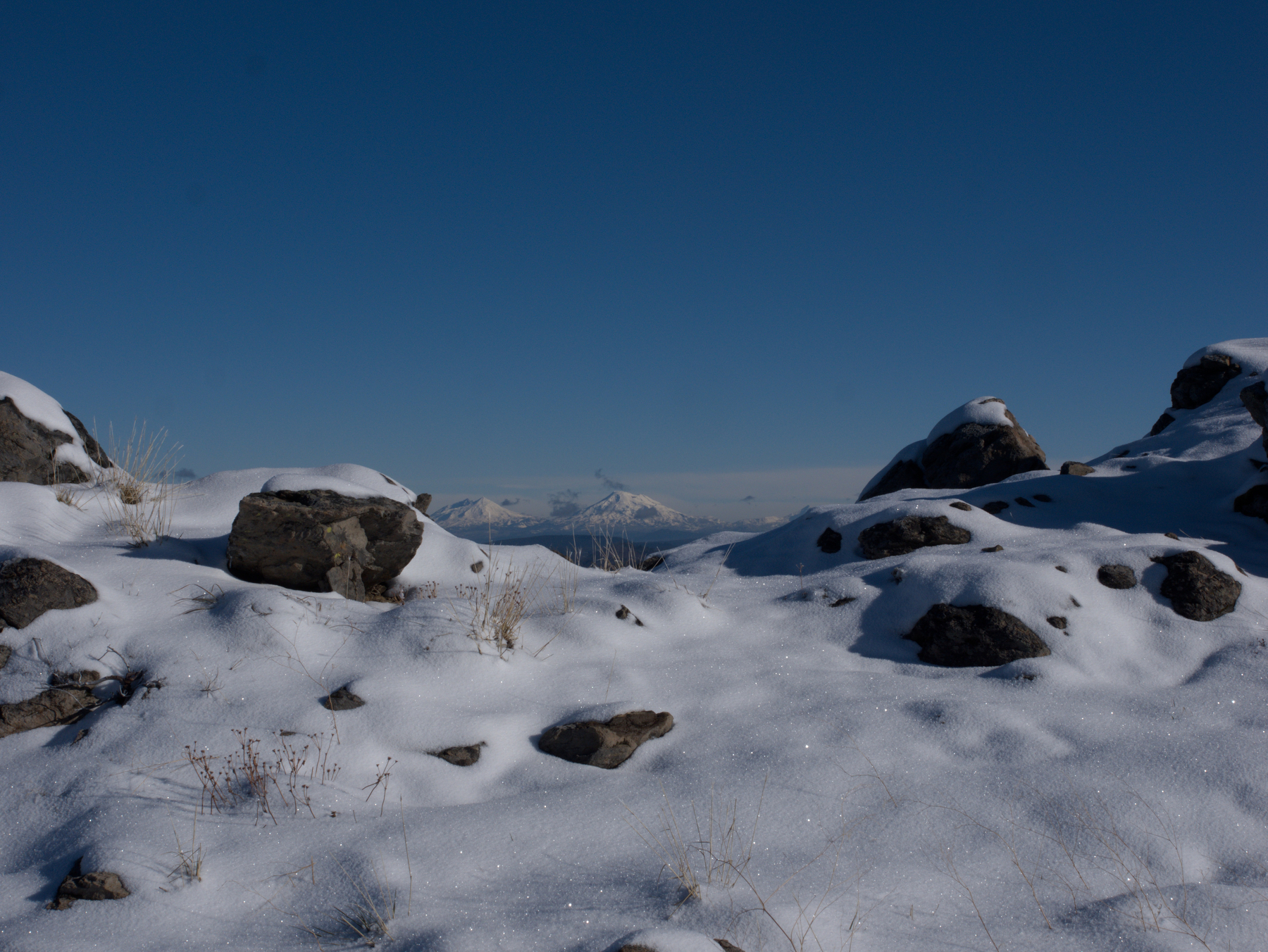 View from the high point
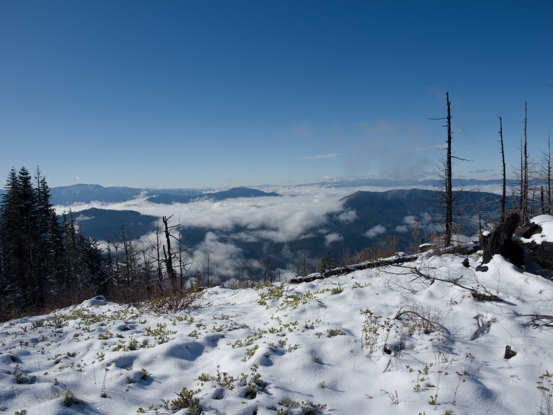 The valleys back towards Oakridge were full of fog
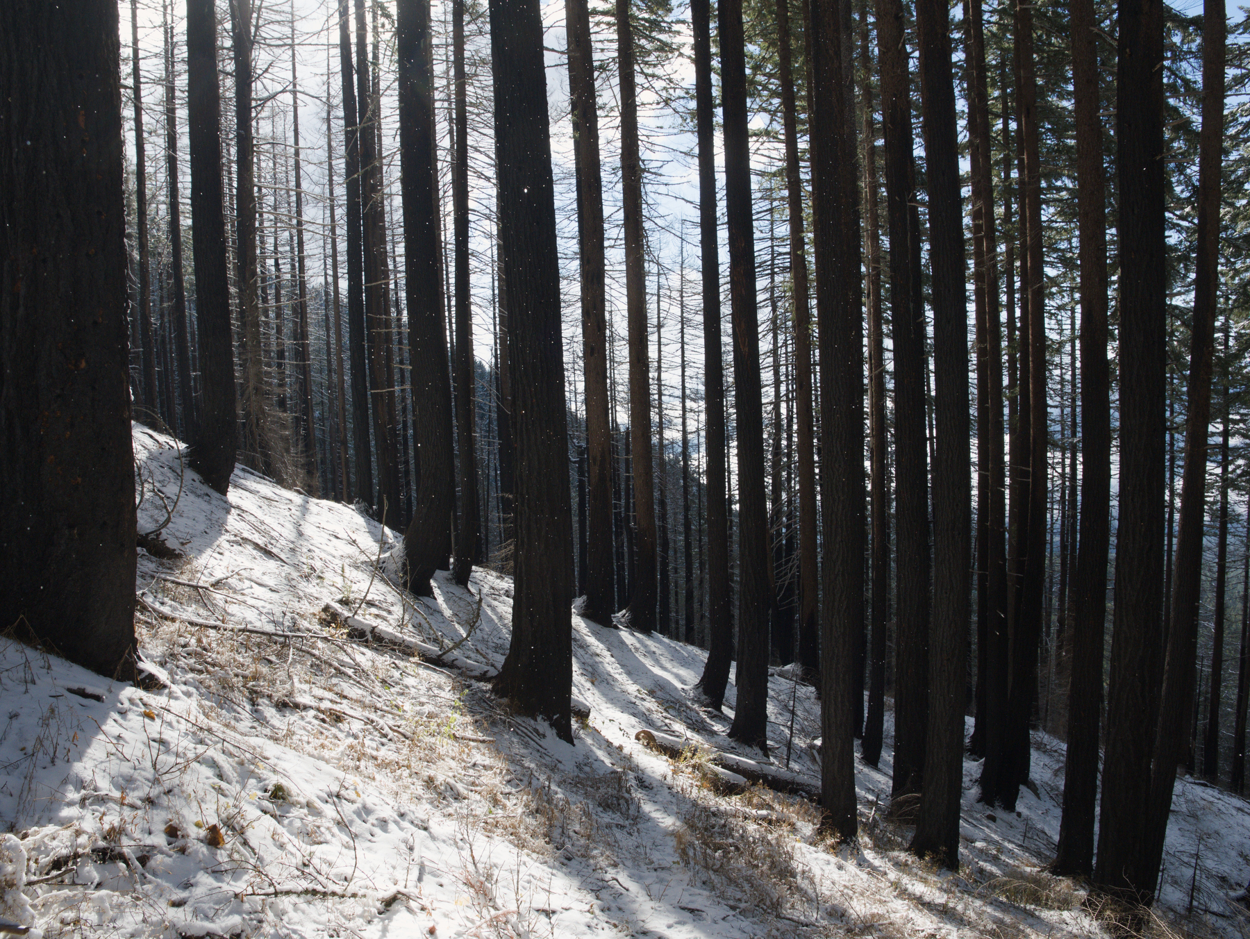 Snowy trail through the edge of the burn on the way down