Obsidian-Scott Area
August 17, 2026 19.05 miles, 3345’ elevation gain
I set out from the Obsidian Trailhead just at dawn, heading more or less southeast along the Obsidian Trail. I was only a short way into the Three Sisters wilderness when I met a ranger coming out. After he checked my permit, we had a pleasant chat about trail conditions and other what-not.
This trail heads pretty steadily up, though mostly at a reasonably moderate grade. Around two miles in it hits the first lava flow, and most of the rest of my day was in volcanic landscapes, interspersed with patches of forest (mostly, in this area, unburned - though there was plenty of haze in the air from wildfires off to the east). I like these landscapes, which ranged from cinder cones to lava flows to, yes, areas of ground littered with shards of obsidian.
About five and a half miles in the trail crosses Obsidian Creek, and then shortly afterwards ends at the PCT. I headed north, and in the next chunk of miles I got passed by six or eight PCT hikers, all of whom were moving at a faster pace than me. Right after the PCT intersection is the little side trail to Obsidian Falls. This is only about twenty feet high, but coming in the middle of the lava area it’s still reasonably impressive. I took photos for a bit here and then continued up the trail past Sisters Spring, which is the source of the water for the falls and creek.
The trail continues through a mix of terrain. Shortly after the intersection with the upper end of the Glacier Trail it climbs the lava chute towards Opie Dilldock Pass. This was the hottest & steepest part of the day, and the footing on loose gravel switchbacks is a bit iffy at times, but it was over soon enough. Right after the pass I took the unmaintained user trail off to the right (as recommended by the ranger in the morning) up the flanks of Collier Cone. In ten minutes or so I came to a crest where I had a good view of what remains of the glaciers on the side of Middle and North Sister, as well as a muddy seasonal lake of glacial runoff.
Then it was back on to the PCT for another couple of miles to Scott Trail, where I turned left and headed back towards Highway 242. I had lunch in the first patch of woods along the way, and took the user trail to the top of Four In One Cone, where I explored to both ends of the ridge before descending and following the Scott Trail the rest of the way out.
Older maps show a trail connection between the Scott and Obsidian trailheads, but this has been closed for restoration, so I had a bit under a mile of road walk on the side of the highway to close the loop. This was a small price to pay for a good day of hiking. The whole loop took me about 9 1/2 hours, with plenty of stops for photos and snacks. I’ll be back to this area again, I’m sure.
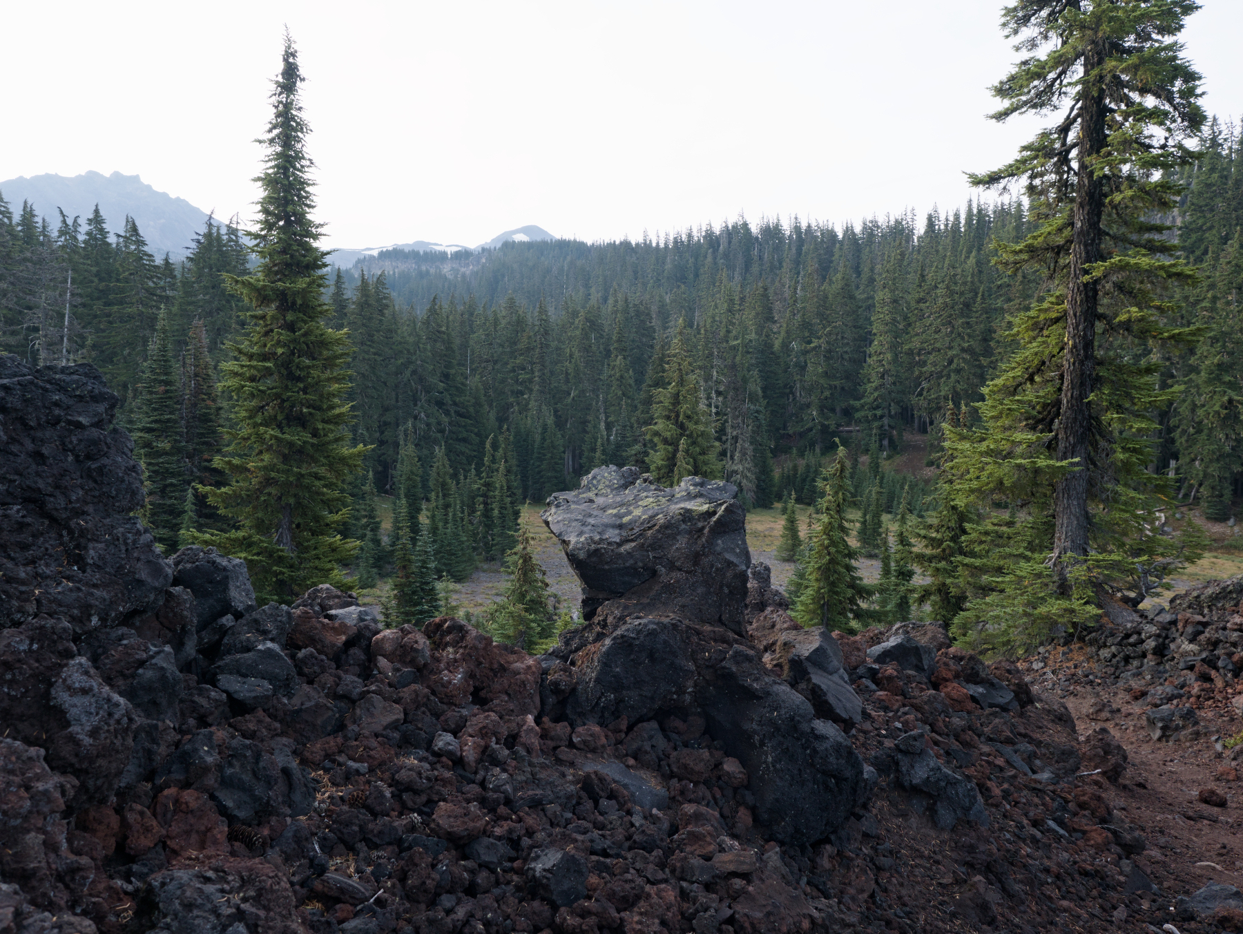 Crossing the first lava flow
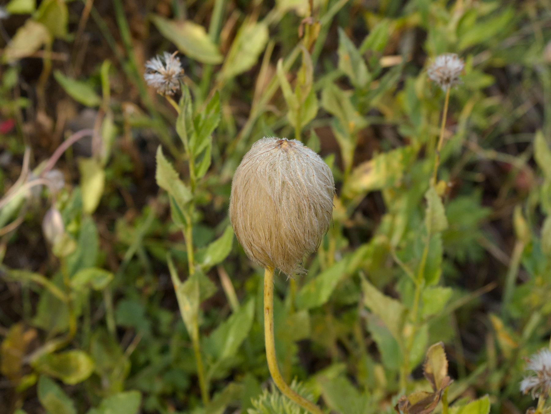 A Western Pasqueflower along the trail
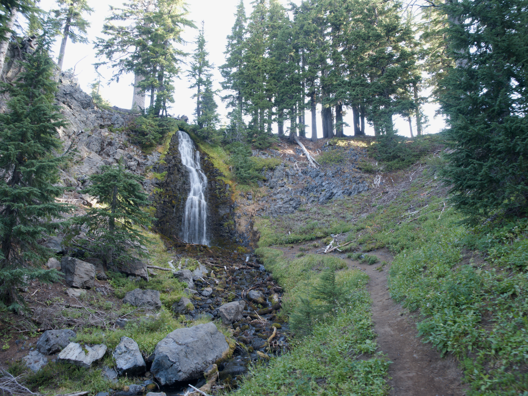 Obsidian Falls
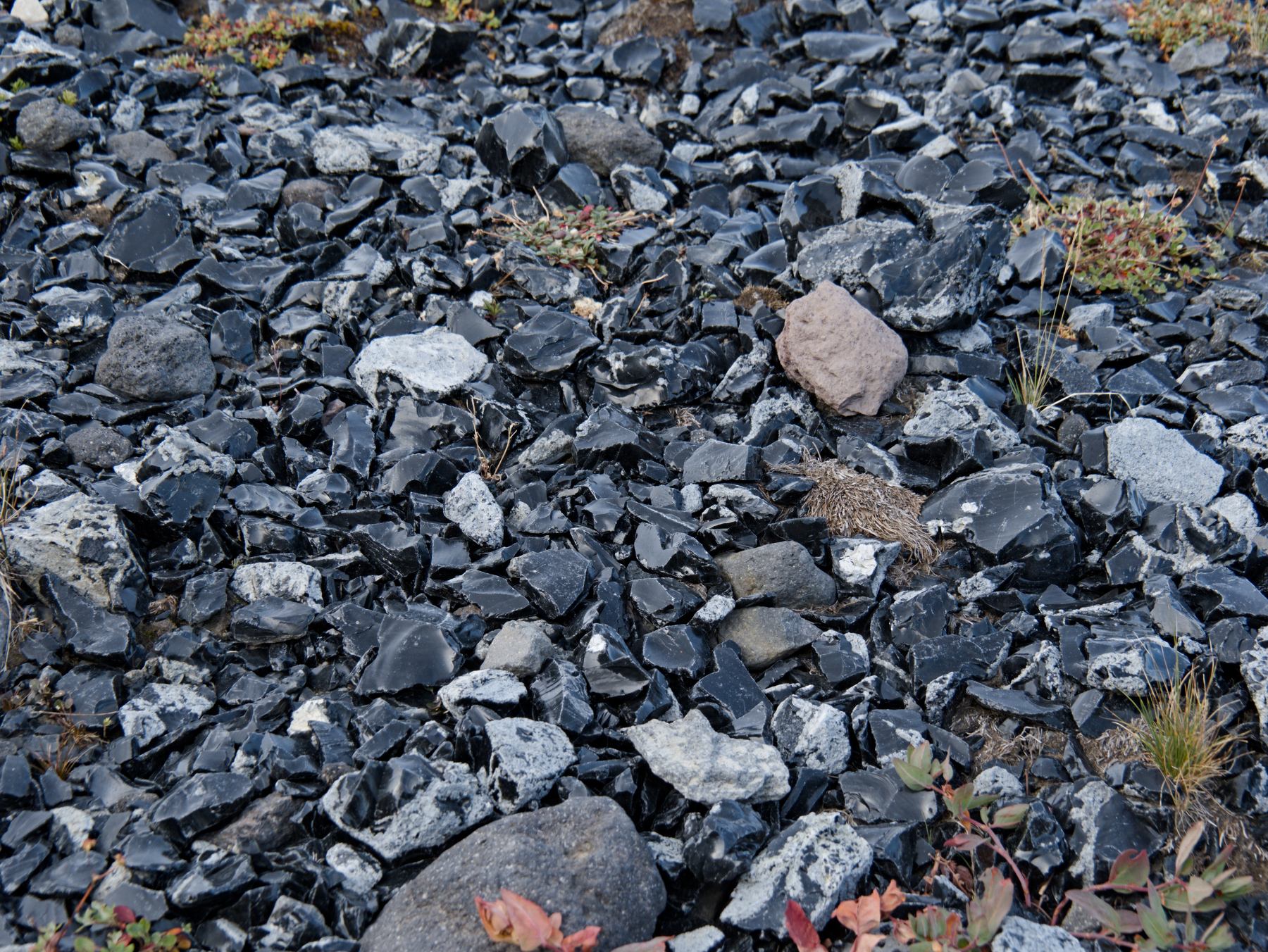 A tiny section of the area covered with obsidian shards
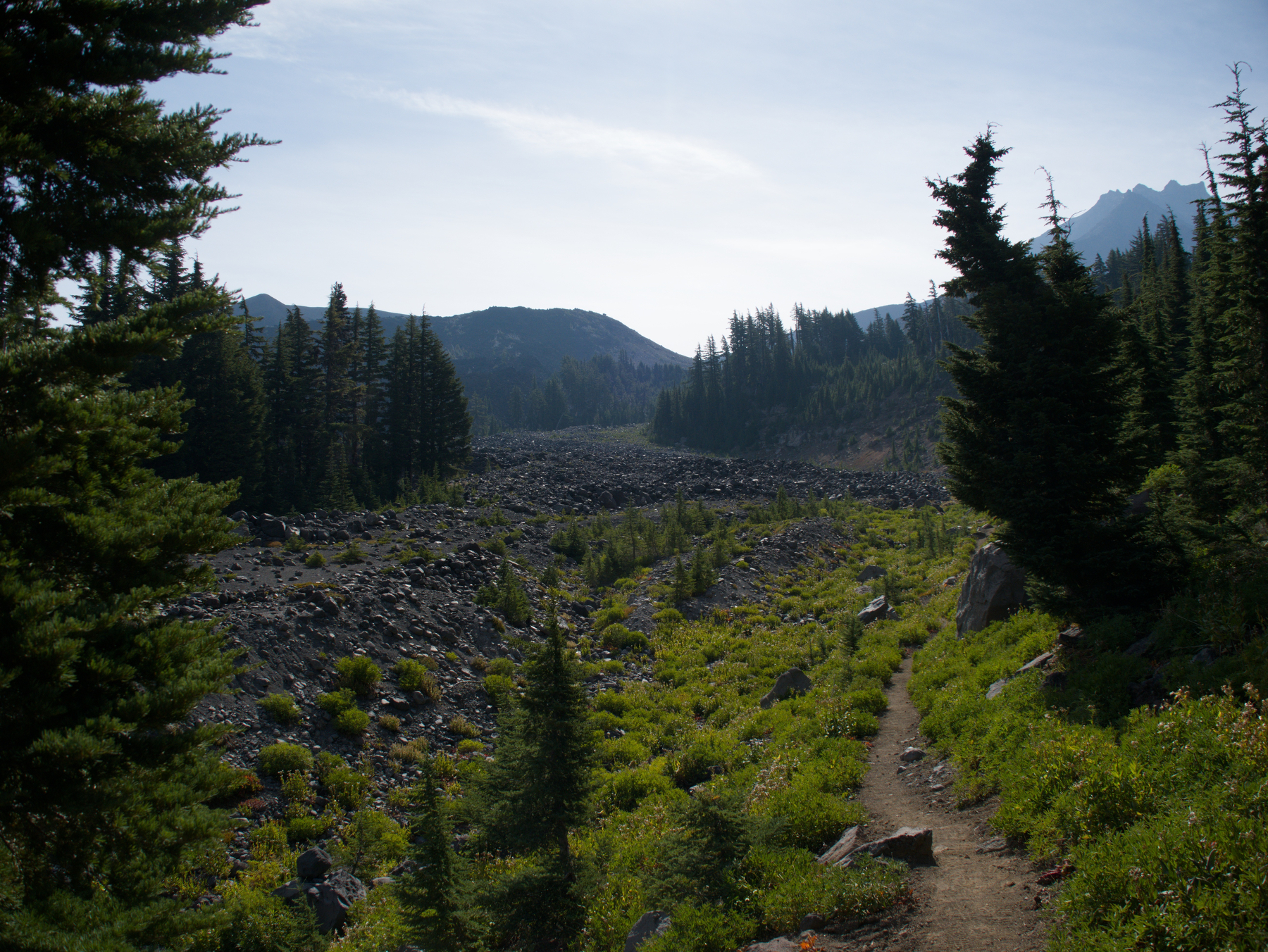 Trail along glacial debris below Opie Dilldock Pass
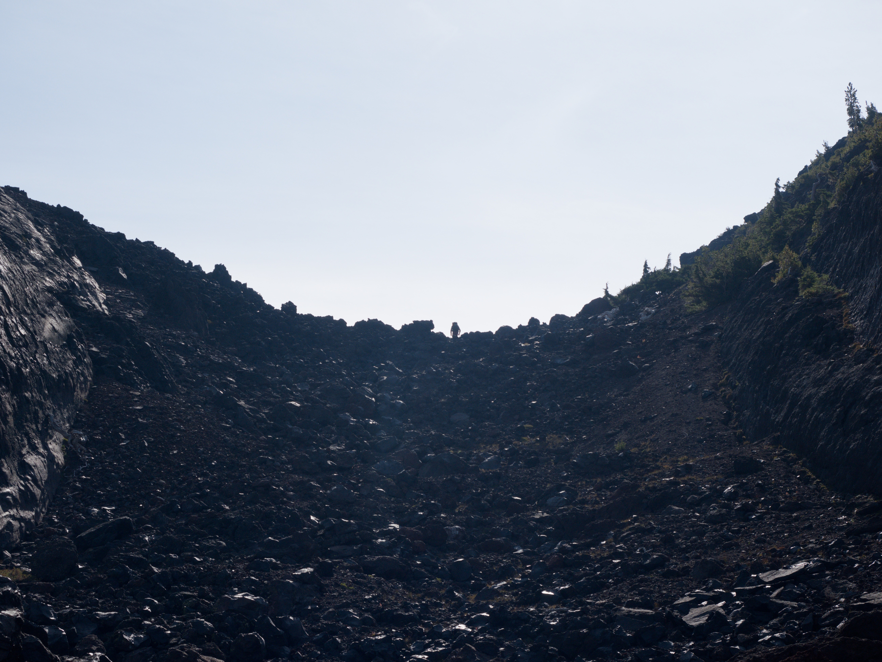 Looking up the lava chute below Opie Dilldock Pass. Note the tiny hiker on the horizon line.
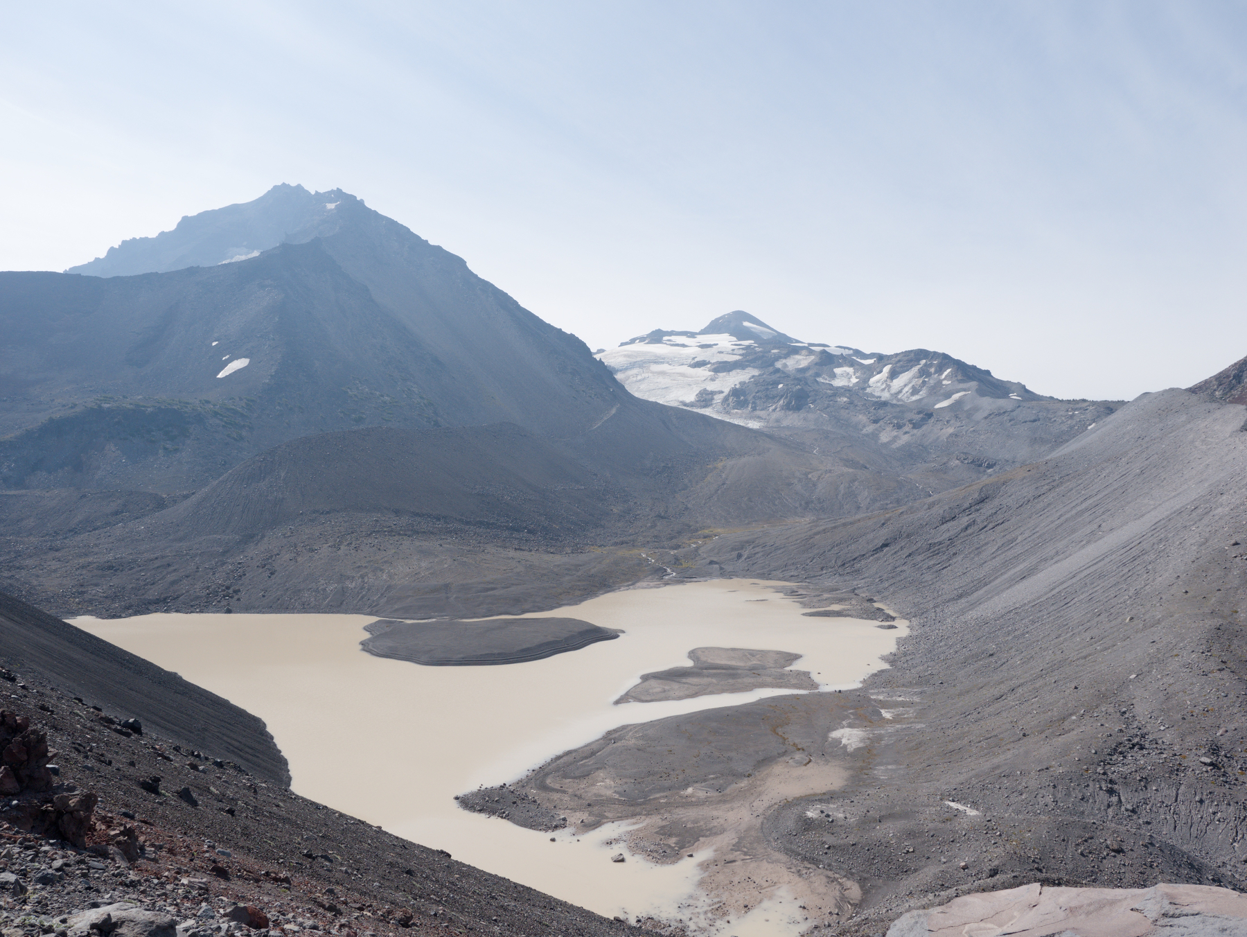 Collier Glacier and glacial melt lake
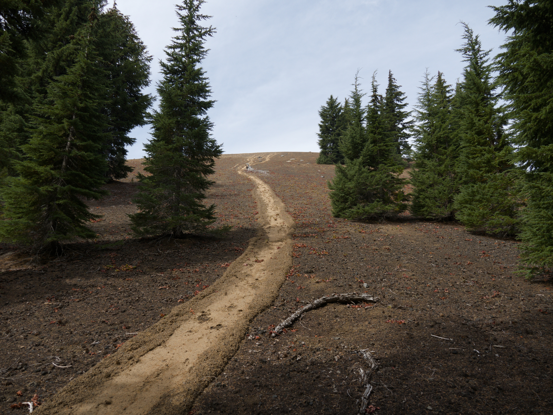 I’m not positive but I think this is where a stream of snowmelt came down the hill
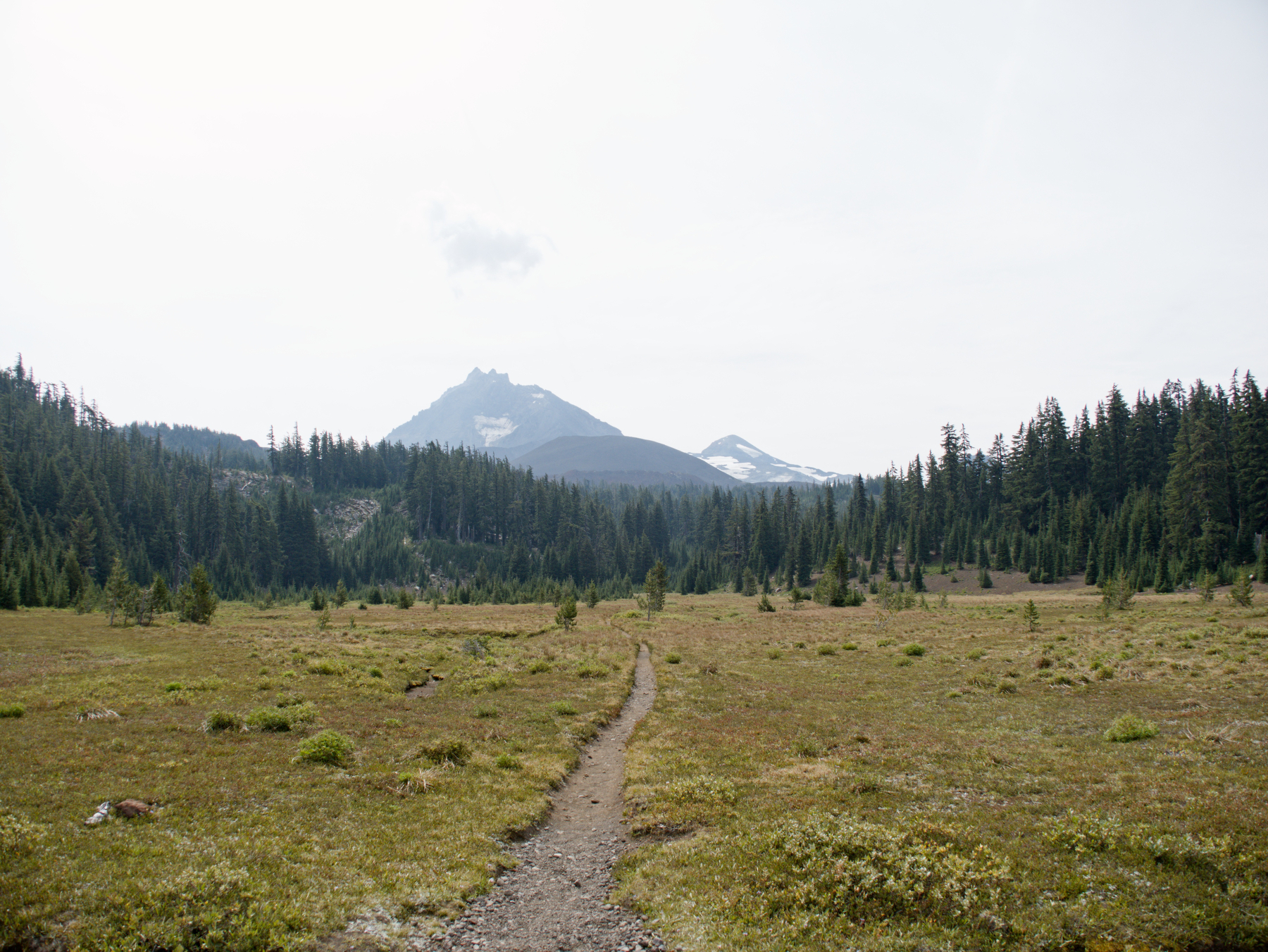 Looking back towards North Sister from the Scott Trail intersection
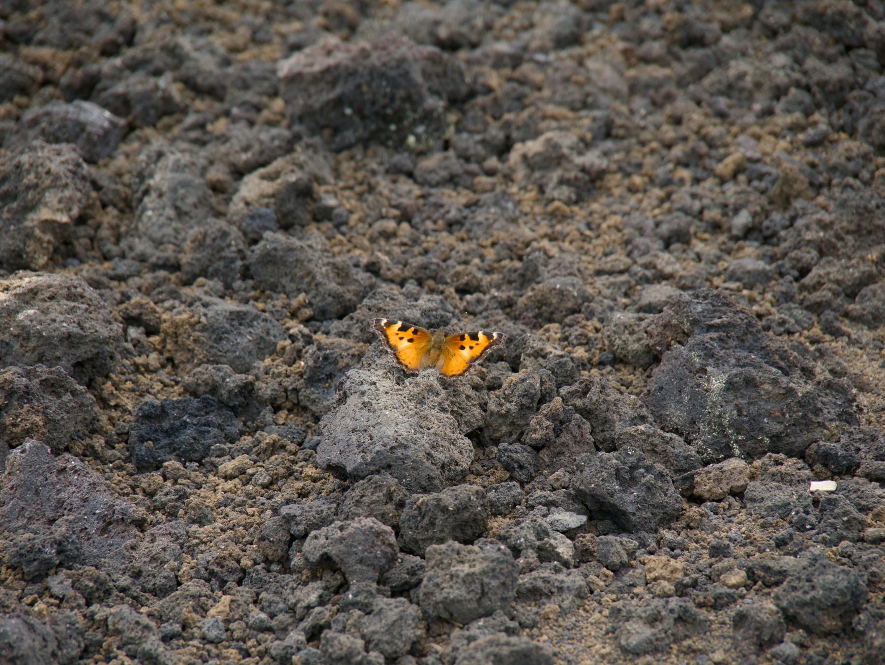 A butterfly below Four In One Cone
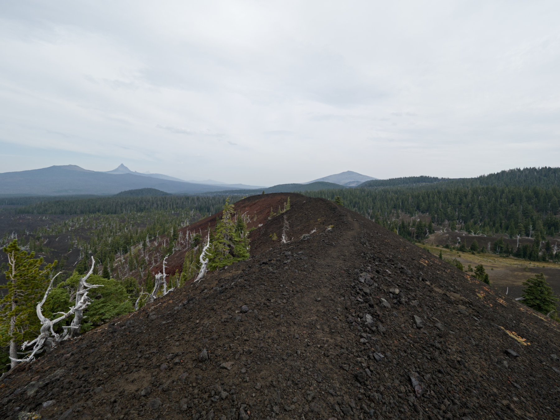 Along the ridge of Four In One Cone
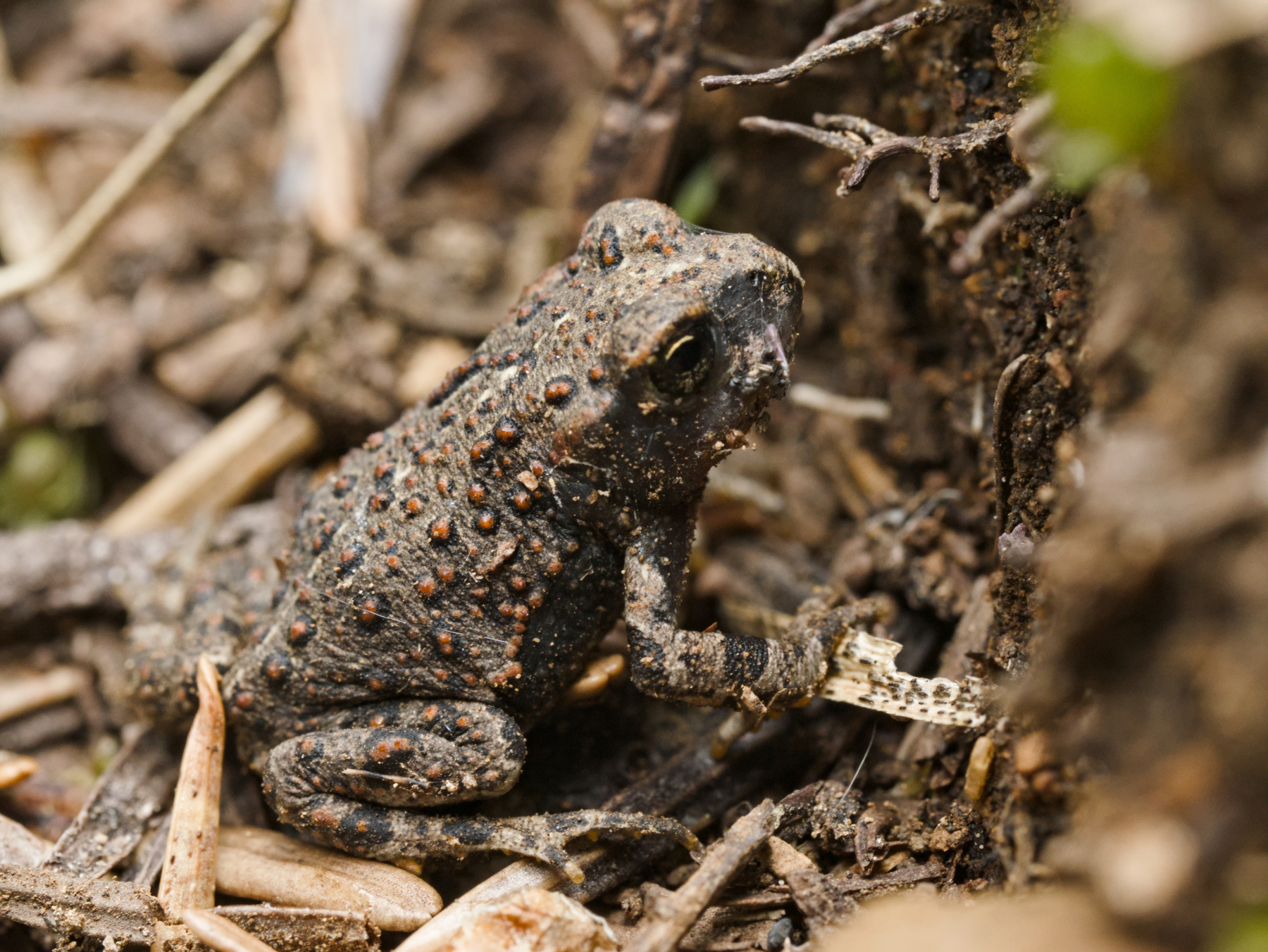 Tiny frog. For scale, that’s a pine needle next to his back leg