Mount June and Junetta Falls
September 18, 2026
20.3 miles, 3987’ elevation gain
Gas prices have me looking for new places to visit reasonably close to home. Looking at the maps I noted that the Northwest Waterfall Survey has marked Junetta Falls in a drainage a few miles south of Mount June, and not too far from a road. Well, why not? So I headed out before dawn with the intent of seeing what I could see. Driving up Goodman Creek Road to Eagle’s Rest Road before dawn I passed some logging activity, and by the time I got to the parking area for the Lost Creek Trail at 5:30 they were already at work. It was possible to drive through with caution, and they were all gone by the time I got back in the afternoon. I guess they’re early birds too.
The trail down to the lower Lost Creek Trailhead is currently signed as closed for logging, but I headed the other direction up towards Mount June. I was glad to be hiking this before I could see much because there’s clearly logging happening not far from the lower part of the trail. Fortunately I left all that behind as I headed up, caught the Sawtooth Trail across and then the Mount June Trail to the top of the mountain. This first 3 1/4 miles (and 2000 feet of elevation gain) took me about 2 hours, a good workout.
The sun was coming up and I had a great view of the cloud-filled valleys all around. Eagle’s Rest was just sticking up out of the clouds, and the sun’s rays were starting to hit the Brice Creek drainages to the south. I took some photos and then headed back down. Reacing the first trail junction on the way down, I turned left and took the remainder of the Mount June Trail out to the trailhead on FR 941.
Then it was time for some road walking, FR 941 to 1721 to 1751. Shortly after turning on to 1751 I crossed the Middle Fork of Junetta Creek, which was barely a trickle after the dry summer we’ve had. This didn’t bode well for finding a waterfall later, but the waterfall was as much an excuse as a reason for the hike so I kept going.
Six miles or so later and another 2500 feet down I was at a hairpin turn where Junetta Creek flows in a culvert under the road. This was where the “fun” for the day started, bushwhacking a quarter mile or so up the creek to the reported location for Junetta Falls. The forest here is pretty dense with undergrowth, including lots of things with thorns, and after a short while I decided the best way forward was to go straight up the creekbed. Or at least, straight up the creek as much as I could - there were numerous fallen trees forcing detours into the thickets.
With the creek flow being low I was only in up to my knees in a few spots. When I got close to where the waterfall should be, I made my way up the west bank of the creek for a better view. And I got a view of … nothing, really. I’m pretty sure I spotted where the falls would be, if the seasonal side creek was flowing, but there was no water there at all today. Perhaps a trip in the spring would locate the falls, but it would also be harder to get there with the water higher. I doubt it’s worth the effort.
I stayed higher up on the hills for most of the hike back, occasionally following game trails headed in more or less the right direction. This wasn’t much easier (the hills are pretty steep) but at least it was different. By the time I got back to the road, I’d spent an hour on this side quest. I sat down on a rock for some lunch and dry socks, which fortunately I’d had the foresight to bring.
From there, it was all road walk, mostly uphill, back to where I’d parked. I opted to stay on the roads through BLM land rather than go across the mountain again. This saved me some elevation but ended up being hard on feet and knees because a big stretch of that road is paved. Still, I was back at the car about 10 hours after leaving, and it was a good day in the woods, so I’m not complaining.
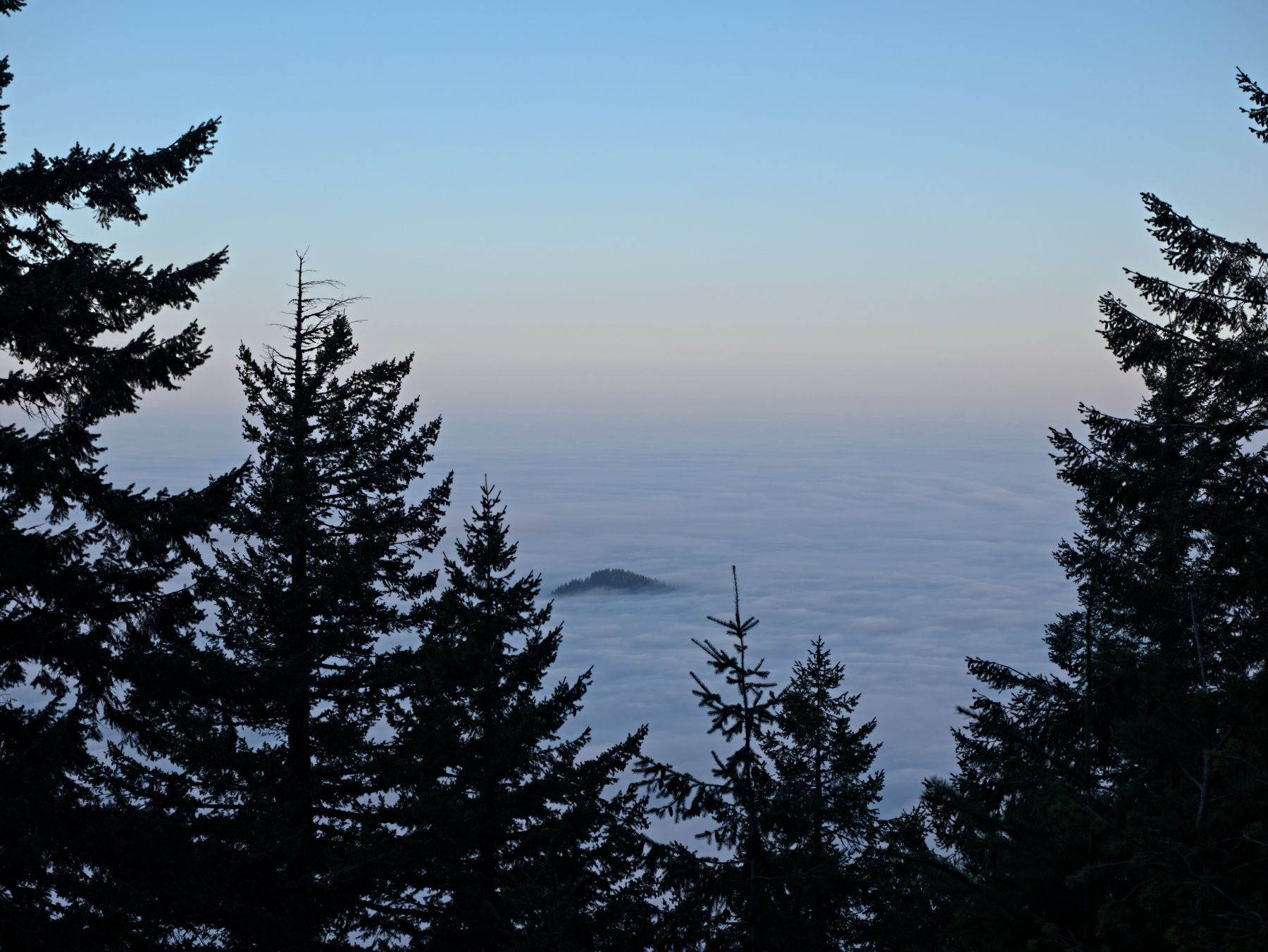 Eagle’s Rest poking up through the clouds
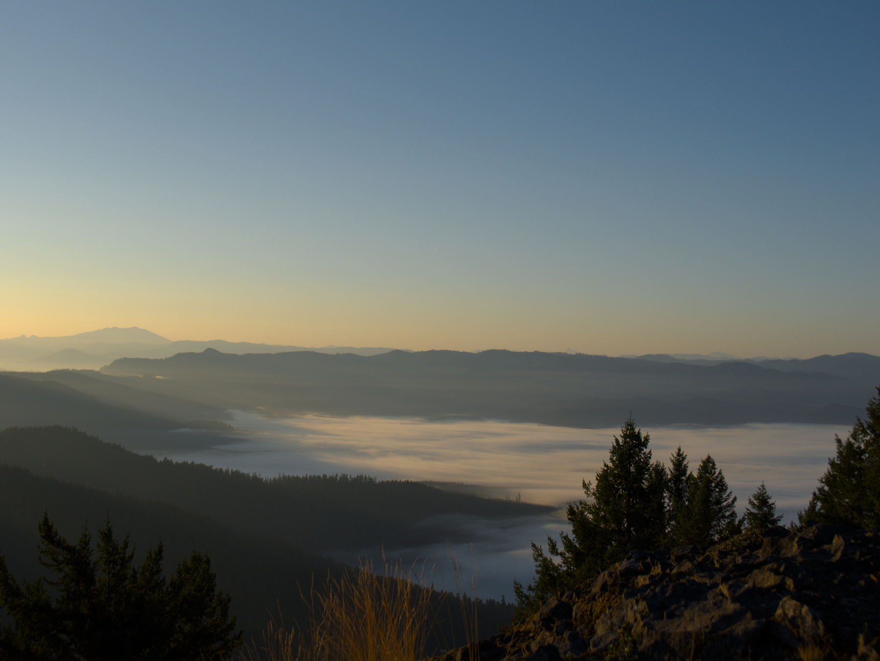 Cloudy valleys
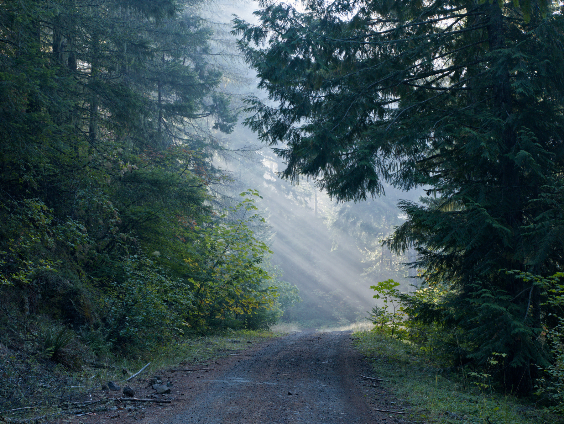 Heading down into the clouds
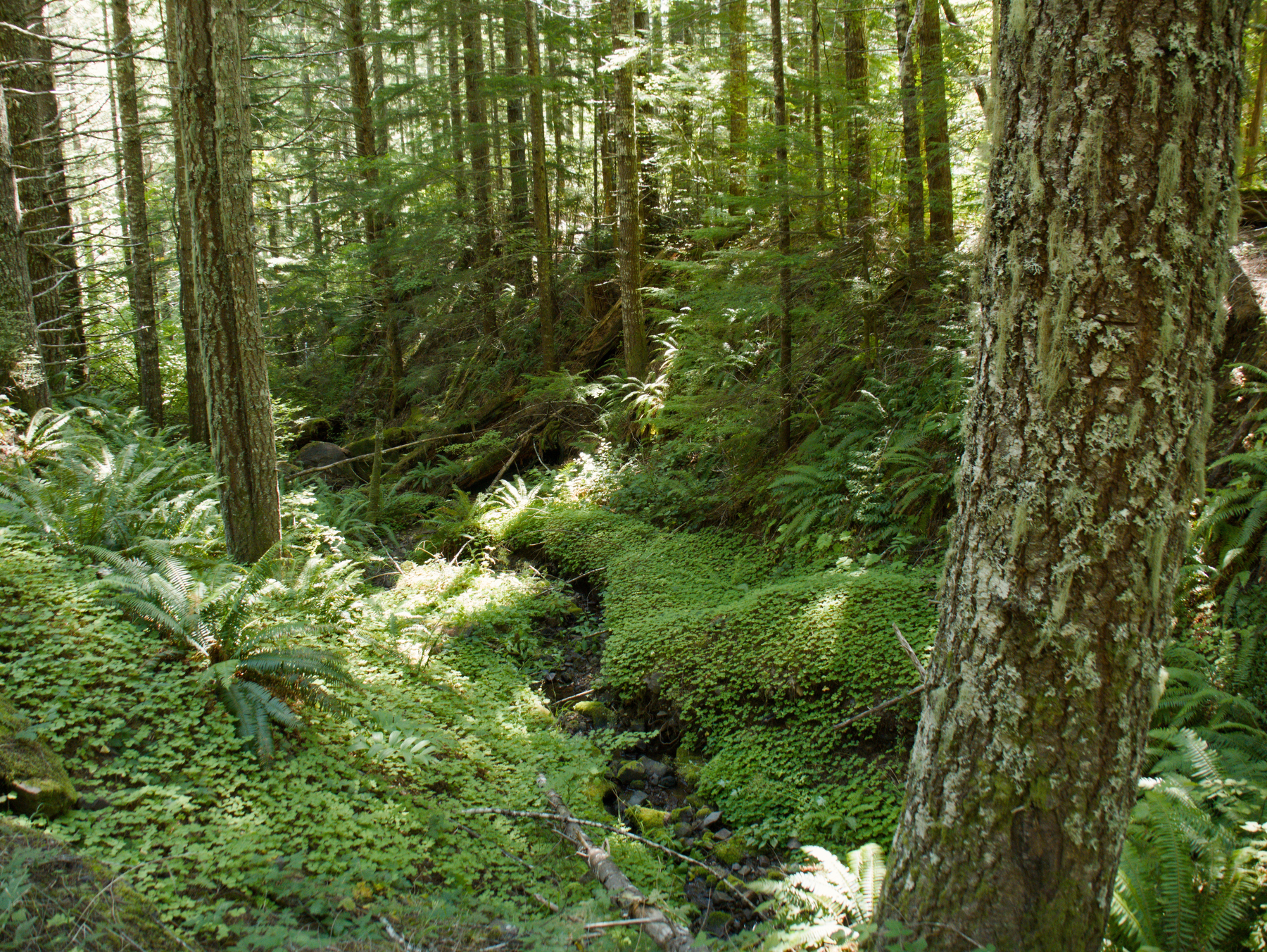 Upper crossing of Junetta Creek
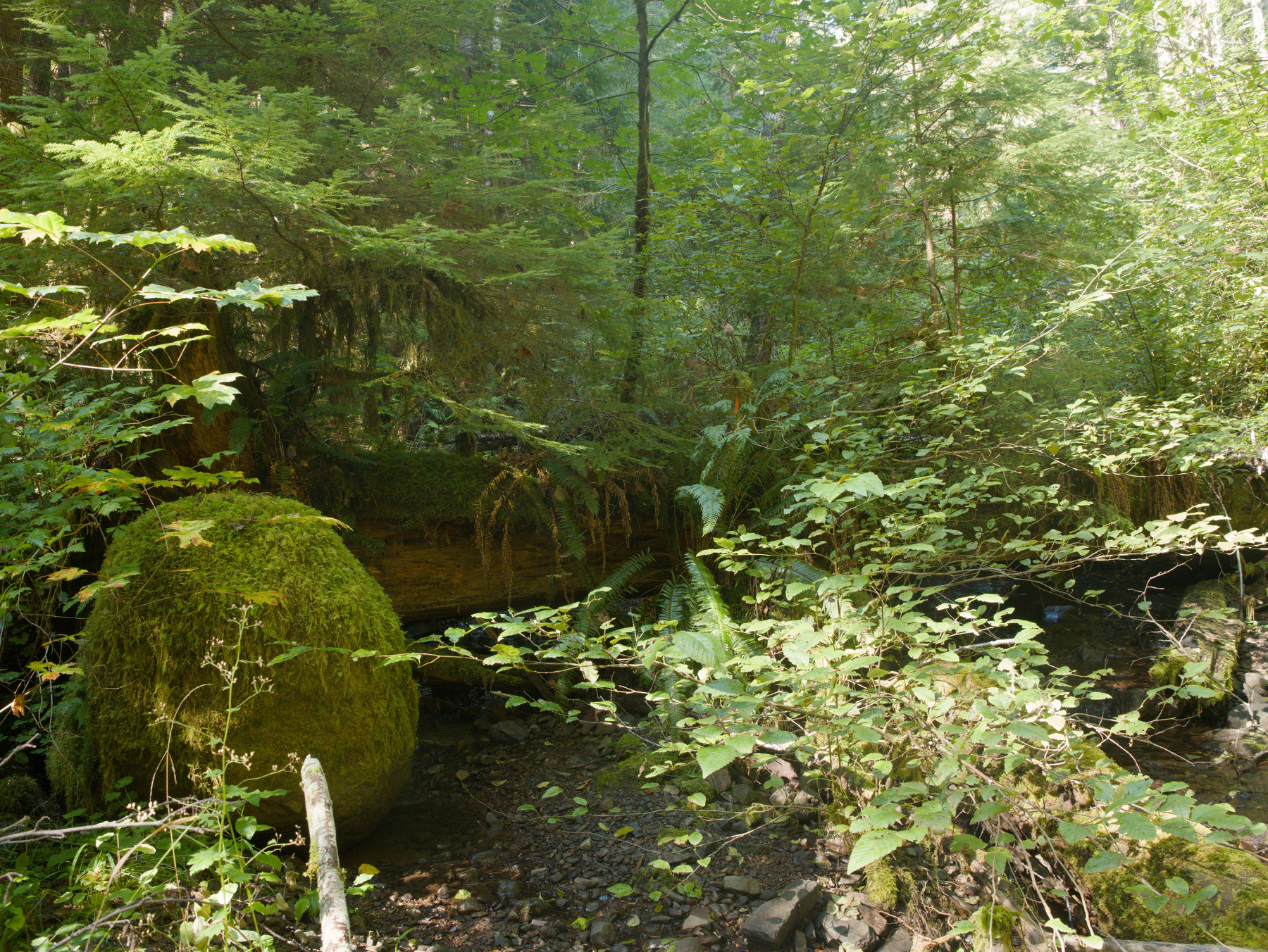 Bushwhacking up Junetta Creek
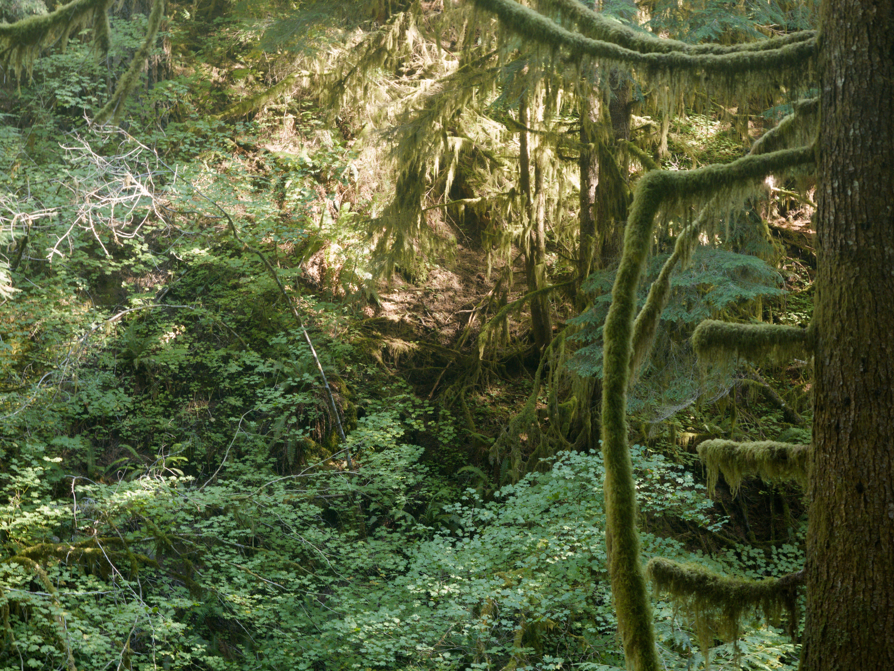 Where Junetta Falls would have been (I think)