Foley Ridge - Louise Creek Loop
23 miles, 4136’ elevation gain
My original plan for the day was a hike to Belknap Crater. Somehow I didn’t realize until I got all the way out to McKenzie Bridge that the snow gates on SR 242 are closed for the winter, which made that plan impractical. So I looked at the map for a few minutes and decided to tackle a different section of the Three Sisters Wilderness, starting at the Foley Ridge Trailhead. I pulled up there just at dawn and headed up the familiar trail.
I’ve been over this first stretch of the Foley Ridge Trail many times, and there wasn’t anything especially remarkable about today’s trip. There had been plenty of rain the night before, but after the first couple of miles the trail enters the 2017 burn scar from the MR Separation fire (where I spent almost the entire day) so damp trailside foliage wasn’t really a problem. There was patchy snow starting around the 5600’ level, but nothing too bad. I did end up with damp feet because I was wearing an old pair of boots more suited for getting torn up on lava, but I’ve survived damp feet before.
Past Substitute Point and Proxy Point, just over five miles in, I took a left turn on the Buck Meadows Trail and headed downhill towards the meadow. I’ve been on this trail before, but not in the past couple of years. Like the Foley Ridge Trail, it’s in decent shape with only a couple of blowdowns as it drops 400 feet over the course of about half a mile.
At the bottom of the hill there’s a four-way intersection. Continuing south (signed “User Trail Not Maintained”) takes you into Buck Meadows and (I think, though I haven’t gone that far) to a couple of small lakes. East and west is the Louise Creek Trail. I’ve been on the section to the west before, in July 2025, and my notes categorize that section as “straight-up bushwhacking” in the burn area. Today’s plan, though, was to head east and complete a loop using the James Creek Trail back up to Foley Ridge.
Well, if you’re looking for a hike on an actual trail: turn around here, because the Louise Creek Trail isn’t an actual trail any more. There is some evidence in the form of occasional flagging tape that someone has at least considered trying to rebuild the trail, but as far as I can tell it’s had zero maintenance since the fire. It was apparent within the first mile that I was not going to be following the trail route exactly, and looking at my GPS track, I was off-trail as much as on-trail for the next six and a half miles, which took me five hours to cover.
There were certainly clues along the way: sections of old trenched trailbed, blowdowns that had been sawed through before the fire, old-style blazed trees where the blaze was still visible on the standing snag. But for the most part I was navigating by terrain and GPS. GPS is obviously as prone to failure as any other electronics, and there is a lot of wilderness out there, so please don’t try this route unless you are confident in your map- and terrain-reading skills.
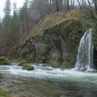
There were also highlights along the way, though in the overcast gloom many of them didn’t stand out well. I got some views of South Sister, especially from Cole Chuck Meadows, that I hadn’t seen before. I also had a nice glimpse of Indian Holes Falls (at a spot where I was way-off trail). The map shows a bunch of other off-trail waterfalls in this area. Perhaps some day I’ll come back to see a few.
Eventually I did find my way to the James Creek Trail, though at that point my navigation was pretty much “head for South Sister and you’re bound to hit something.” This was a bit challenging to follow in a few spots due to snow - there was up to six inches in shaded areas. But James Creek has been maintained, and would be a nice hike in nice weather. I took this back up to the intersection with Foley Ridge Trail, and followed that back to my car.
Well, I followed it back with one minor wrong turn - there is an unmarked but well-defined trail that heads down into the drainage between the James Creek and Foley Ridge Trails. Looking at maps I think this must be the top end of the long-decommissioned Separation Creek Trail. That is another target for future exploration, I think.
Fortunately I had a headlamp in my emergency bag, because I needed it on the way back; ultimately this 23 miles took me almost 13 hours, thanks to that long section of bushwhacking (did I mention the hundreds of blowdowns? or the fresh bear scat and bear noises?) in the middle. But I’ll be back, if only to see how far I can push down Separation Creek. Maybe not until the spring, though.
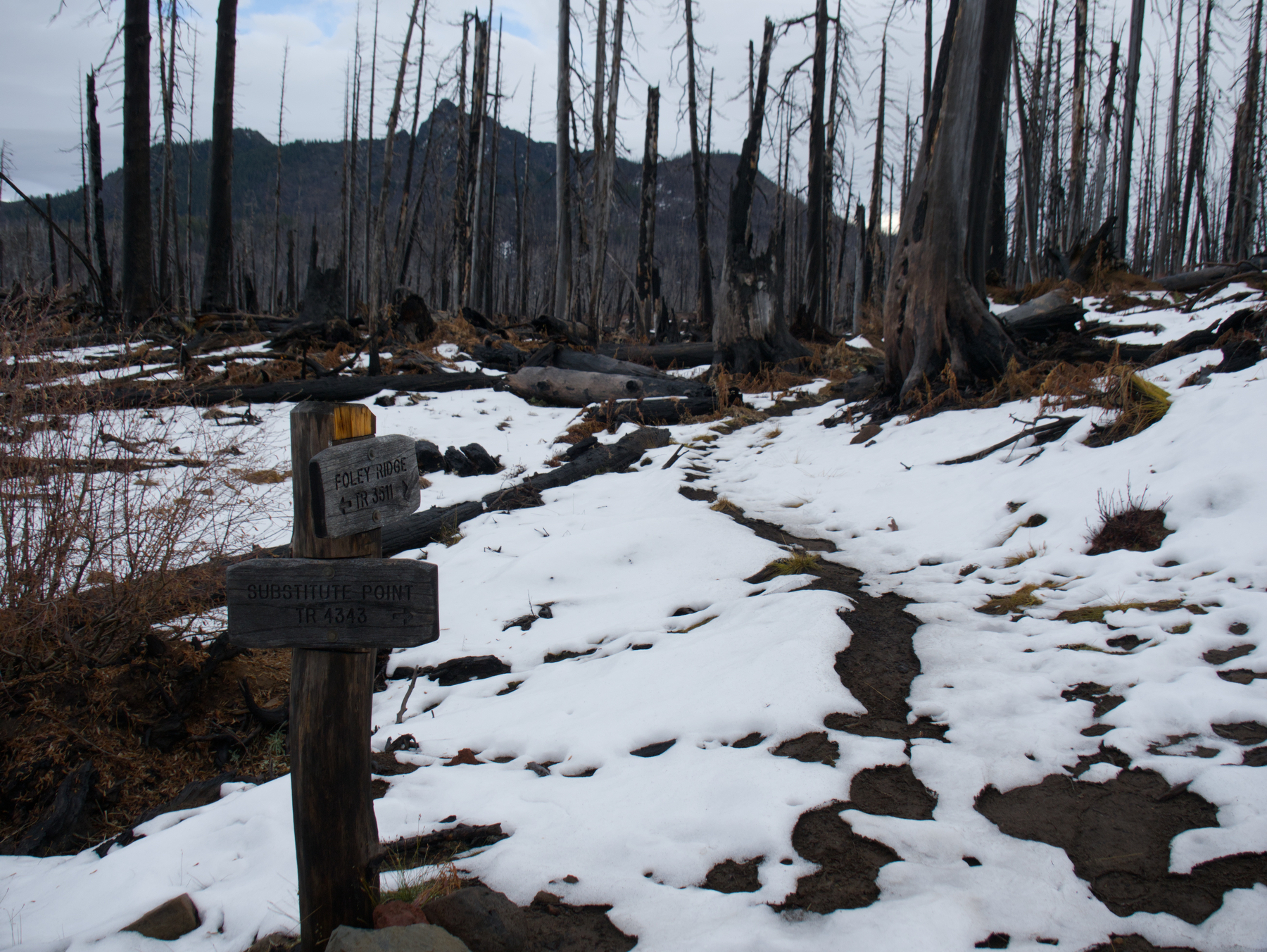 Patchy Snow along the Foley Ridge Trail
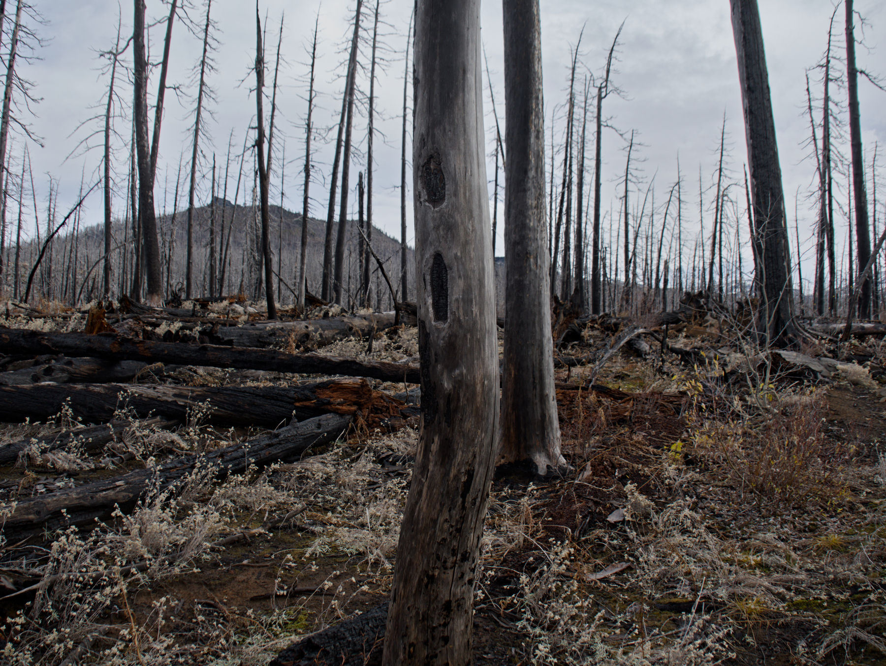 Old trail blaze on the Louise Creek Trail
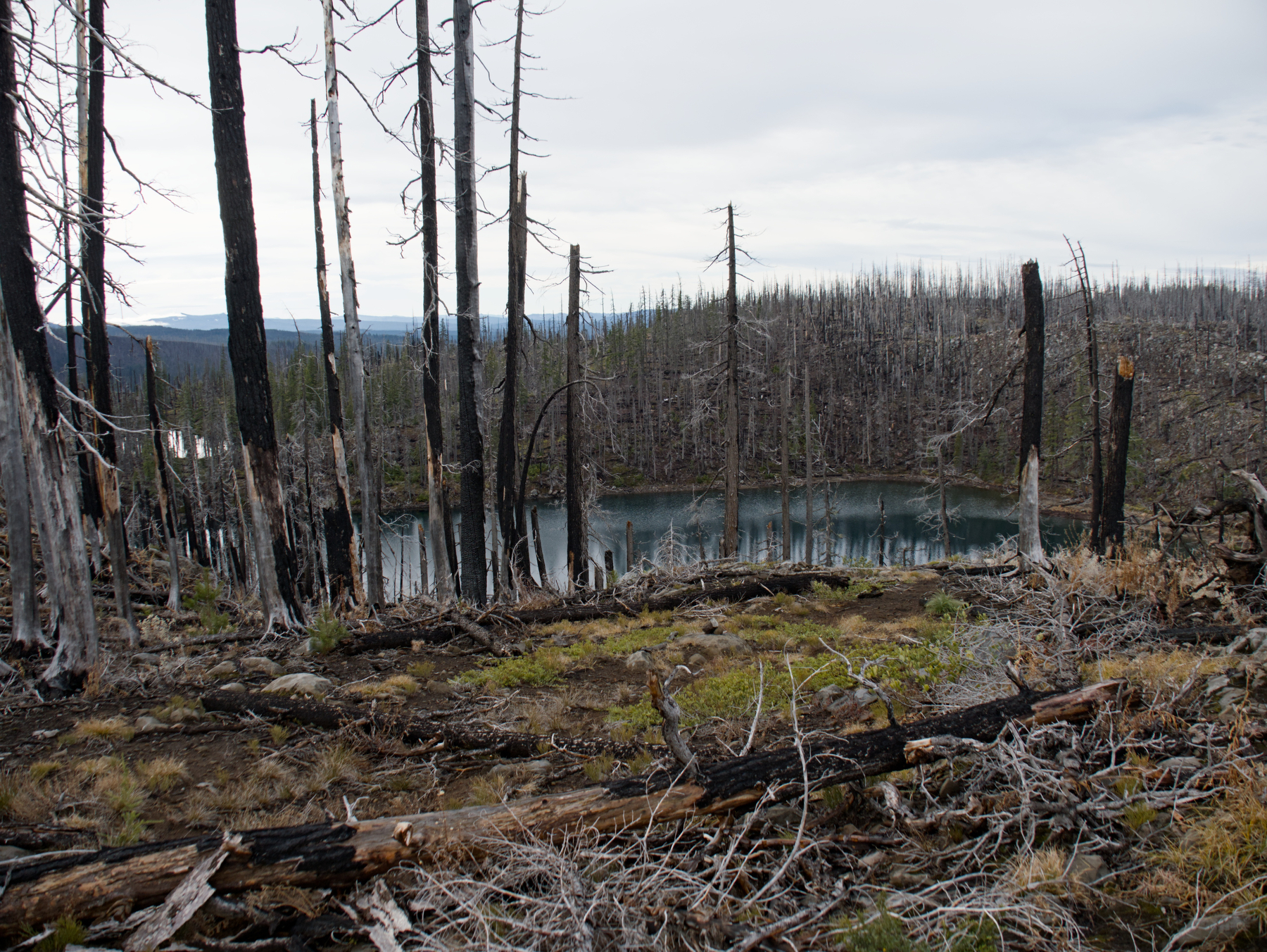 Honey Lake
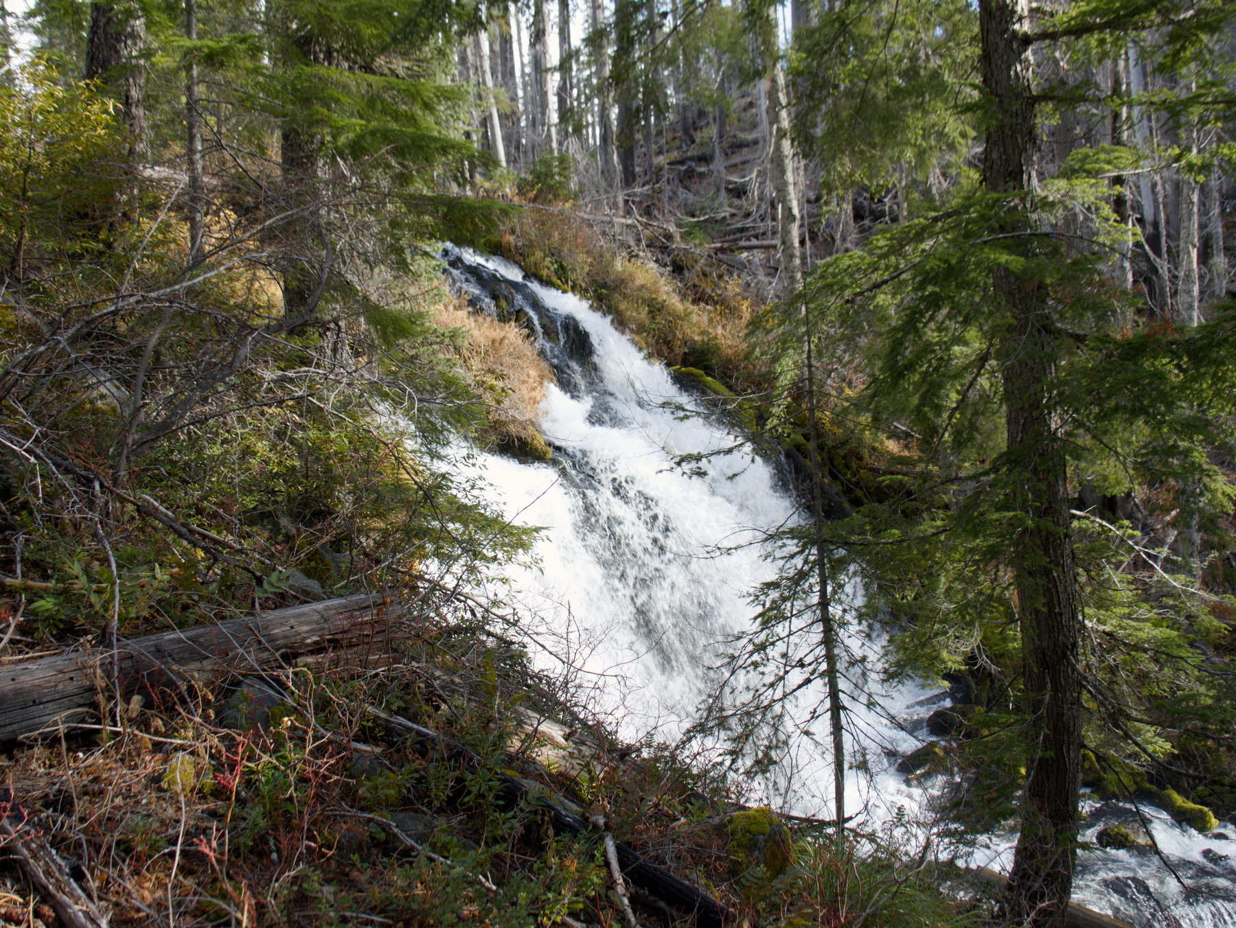 Indian Holes Falls
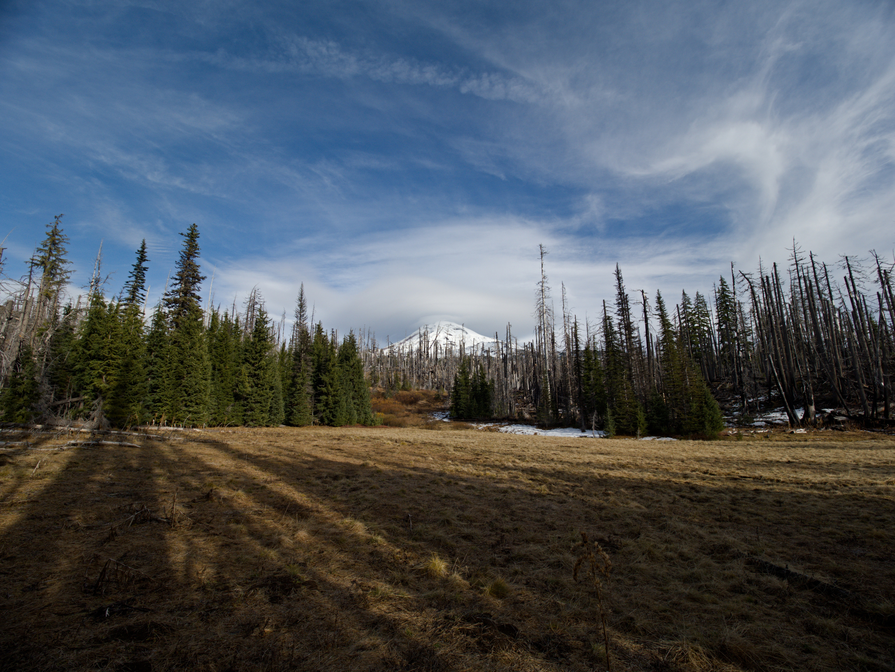 South Sister above Cole Chuck Meadows
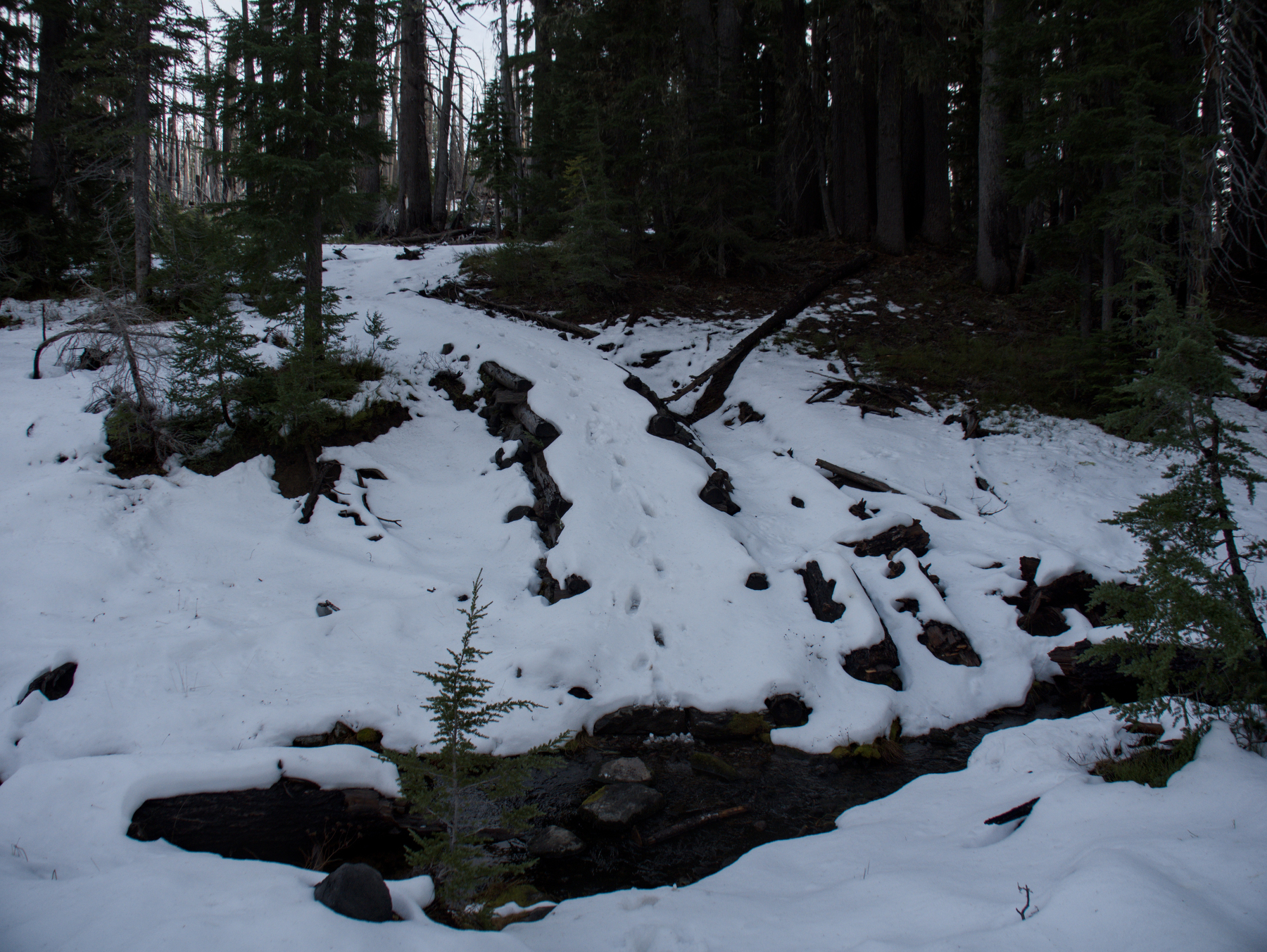 Creek crossing on James Creek Trail
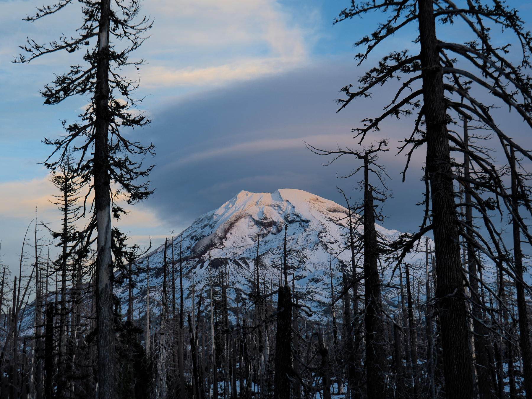 South Sister and lenticular cloud in the last rays of the setting sun