Elk Creek Lollipop Loop
August 31, 2026
24.2 miles, 4070’ elevation gain
Tody’s goal was to see a few lakes and enjoy some more of the Three Sisters Wilderness. I started off at the Elk Creek Trailhead just before dawn. The approach roads (FR 1964 and FR 456) are in decent shape, graveled with only a few big potholes and some grass grown up in the median strip. Plenty of parking at the trailhead (which is also the parking for the South Fork trailhead).
This trailhead gets way less usage than the ones on Hwy 242, so it’s a self-issue permit for day use. Elk Creek Trail wastes no time in heading uphill, and keeps heading uphill for a good long while. In the first quarter mile (well before it actually gets into the Wilderness) it crosses a logged-out area, but that’s the only one and it’s over quickly. The first couple of miles of trail have been cleared of blowdowns, but not brushed. Between low maintenance and low travel, the growth on the Elk Creek Trail ranges from waist-high to shoulder-high in places. The trailbed is almost always obvious, though, and the trail is easy to follow.
After 90 minutes I was 3 miles in and about 2000 feet up from where I’d started. This is about where the trail crosses into the official Wilderness Area. and the grade eases off. The blowdowns start, too, but they’re infrequent and easy to navigate. As you move east into the uplands things get drier and there are fewer shrubs overhanging the trail, which is nice.
I crossed the McBee and Starwano Trail junctions and kept on climbing with Packsaddle Mountain on my left. There are a couple of small lakes in this stretch. Like all of the others I saw today, the water level was obviously low. None of the streams I crossed were flowing. It’s definitely a dry year. I hit my highest elevation for the day a bit after 8 miles in, less than a mile before the PCT junction. Somewhere in here a trail crew had been in from the PCT side, with blowdowns once more cleared.
When I hit the PCT I turned left and headed north. This is where I saw my only other hikers for the day, 3 SOBO through-hikers over the course of the next hour or so. The PCT is the only trail I was on today where I saw bootprints from other hikers, but there were of course a lot of them.
I was on the PCT for about four miles, passing (among others) Mac Lake, Merrill Lake, and Horseshoe Lake. This stretch is nearly level, though there’s a gentle climb up along a slope towards Cliff Lake (which I did not quite get to) at the end of it. I turned left again at Porky Lake Trail (also little-traveled and overgrown) which quickly drops about 300 feet down a valley till it gets to the lakeside of Porky Lake, where I broke for lunch.
Then it was a climb back out of that valley and over a saddle to Mink Lake, the largest lake I’d see today. I took the Lakeside Trail around the north side of the lake. There are several good (and well-used) camping sites along this stretch. Mink Lake was pretty as usual, though the wind was kicking up at this point so I didn’t get to take the stereotypical trees-reflected-in-lake photo.
Around the west side of Mink Lake I picked up the Starwano Trail, which is about a two mile climb back up to the Elk Creek Trail. A right turn here took me back down the six miles or so to my car. After almost 11 hours on the trail, I was happy to be done for the day.
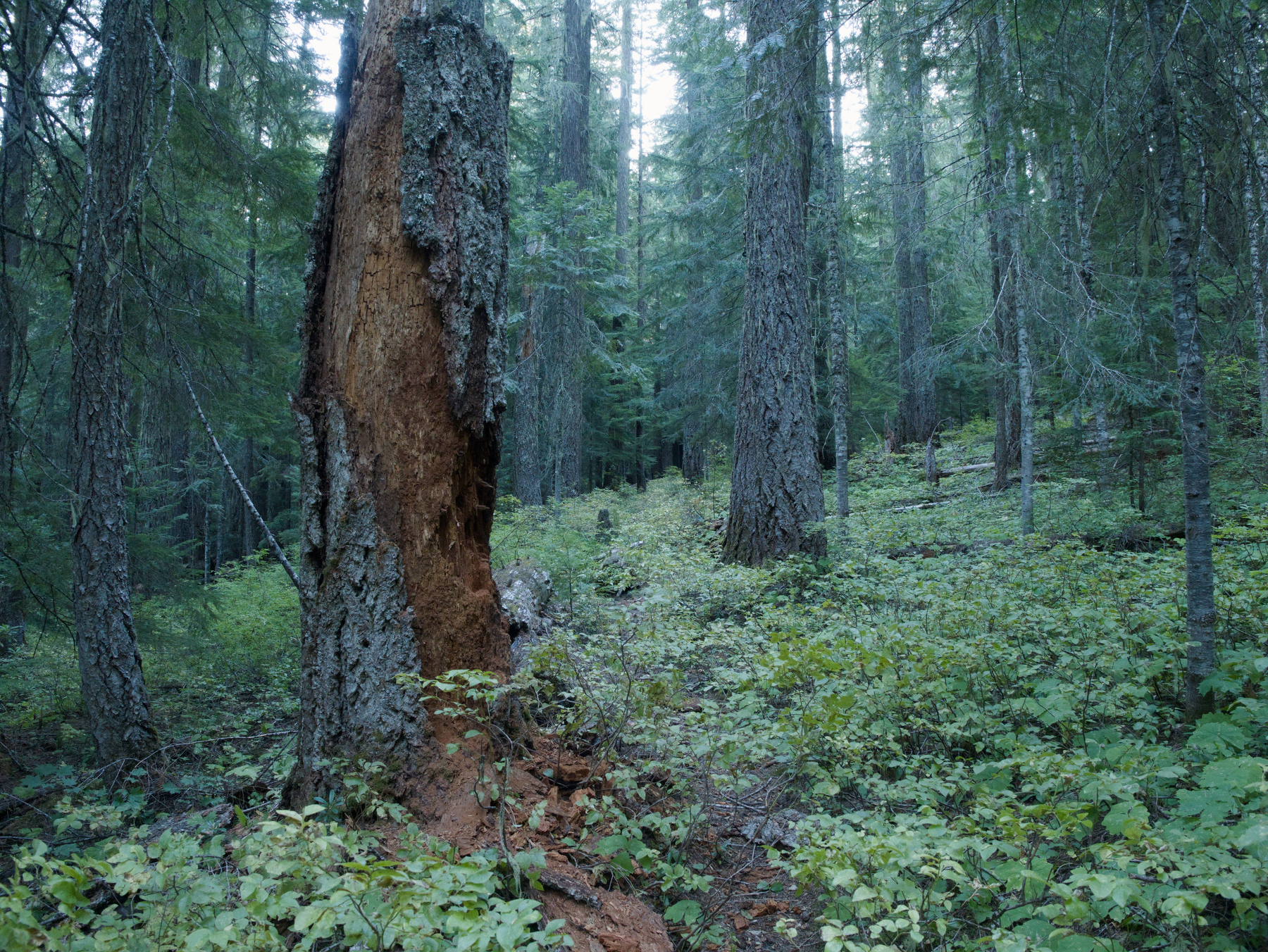 There’s a trail under there somewhere
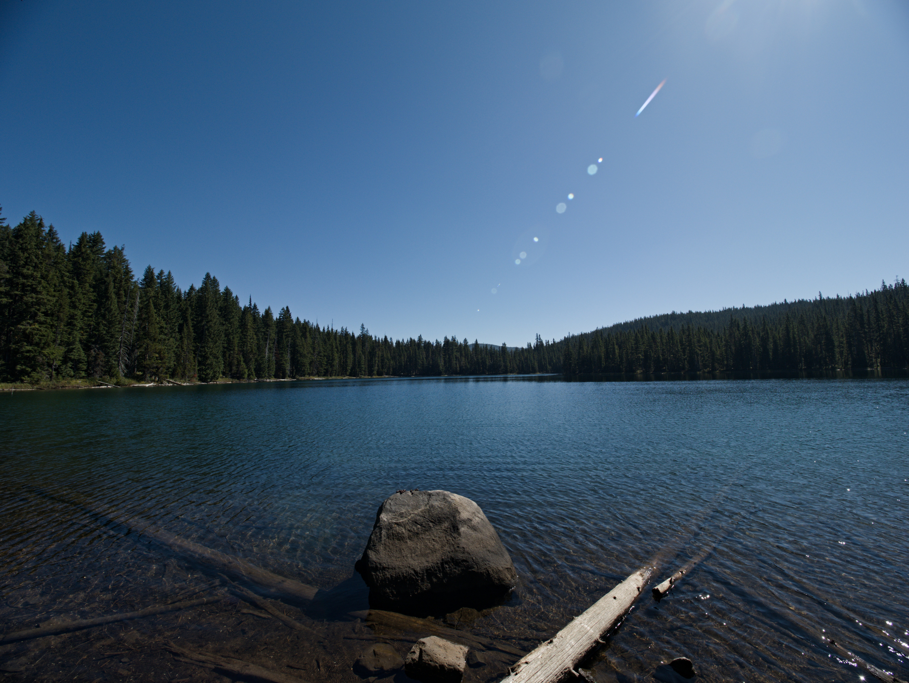 Merrill Lake
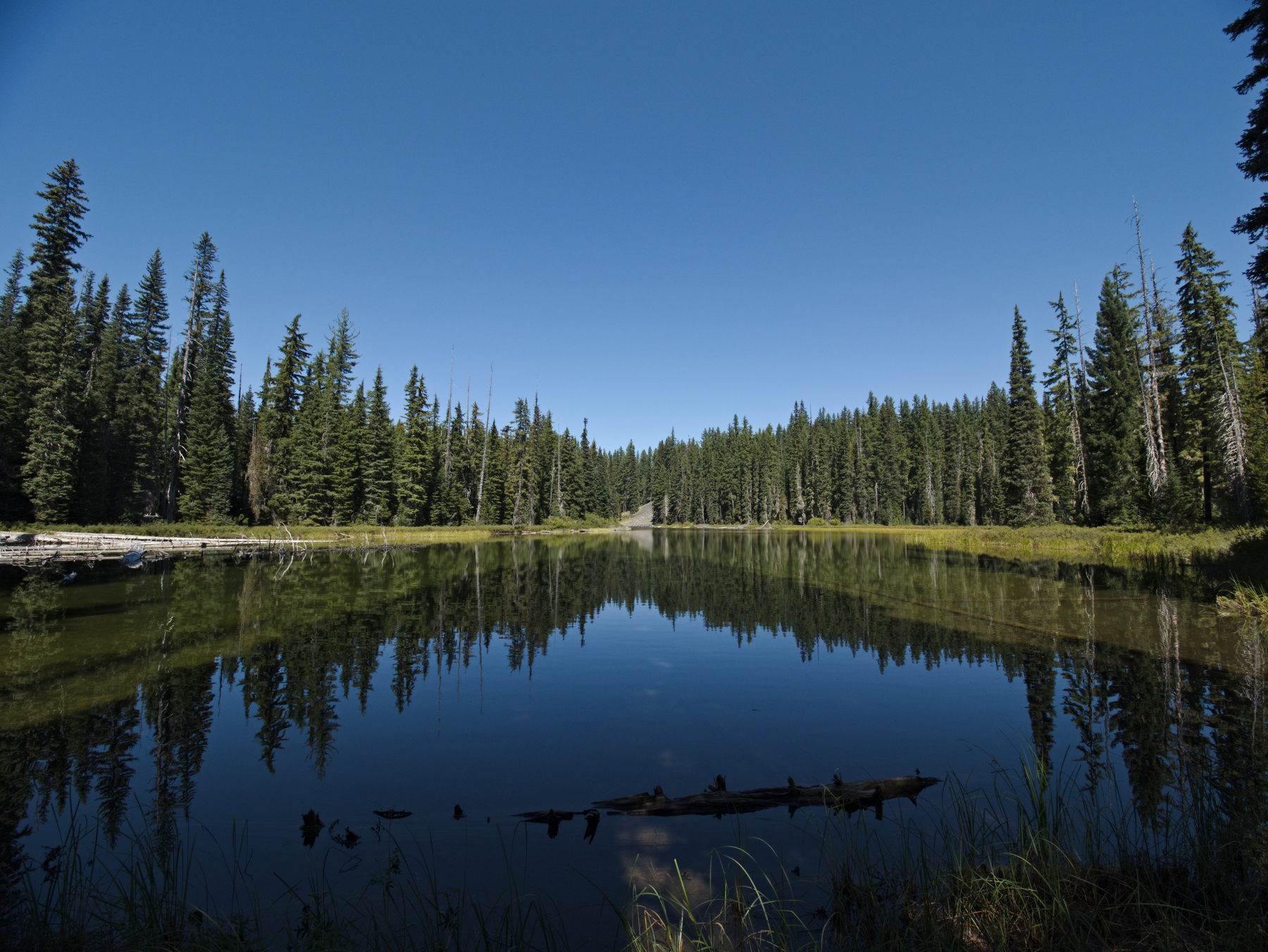 Porky Lake
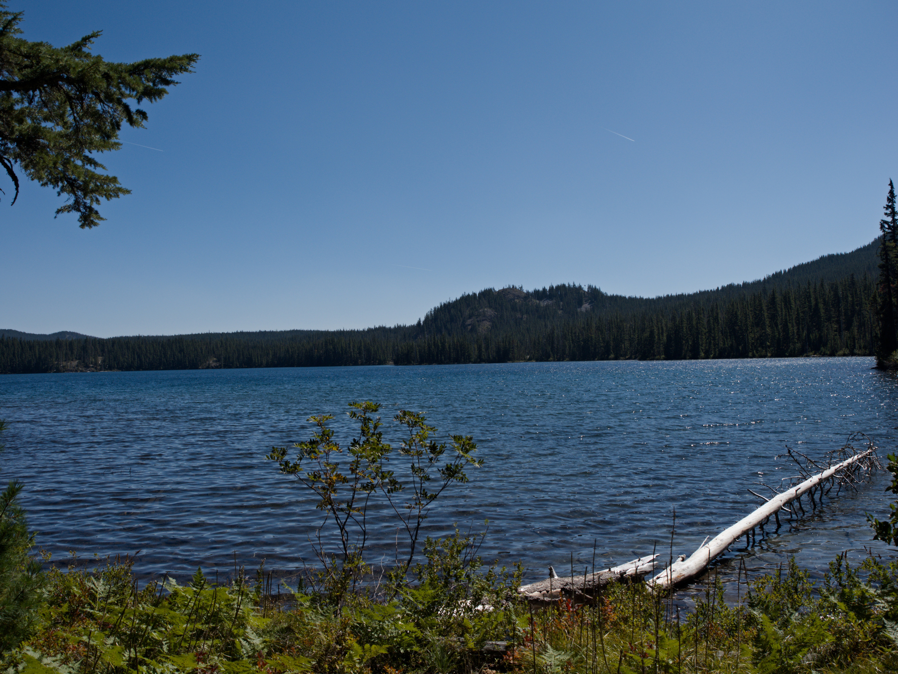 Mink Lake
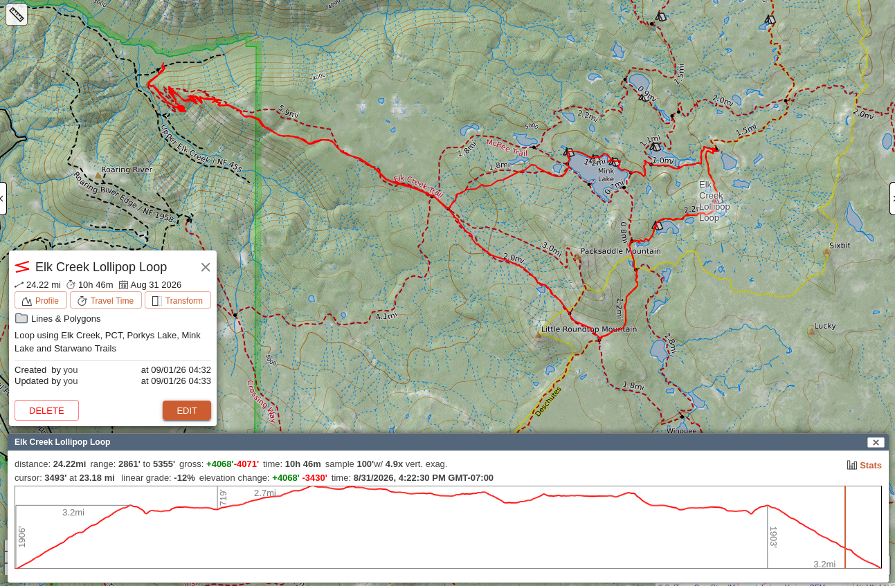 Hike route