Devil's Garden
August 21, 2026
3.25 miles, 1300’ elevation gain
This is the Devil’s Garden in the Willamette National Forest southeast of Oakridge - not to be confused with several others elsewhere. I could find next to no information on this hike online, so hopefully search engines will pick up this page.
Access starts with FR 5884, an easy-to-miss right turn off Hwy 58 just after the train trestle. 5884 is a well-maintained gravel road, though it’s heavily washboarded in spots. At least there are no major potholes. A few miles up is the (unmarked) right turn on to FR 390. This road is in considerably worse shape, with rocks and a median strip grown up in dry grass, but it’s still passable in a normal car.
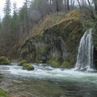
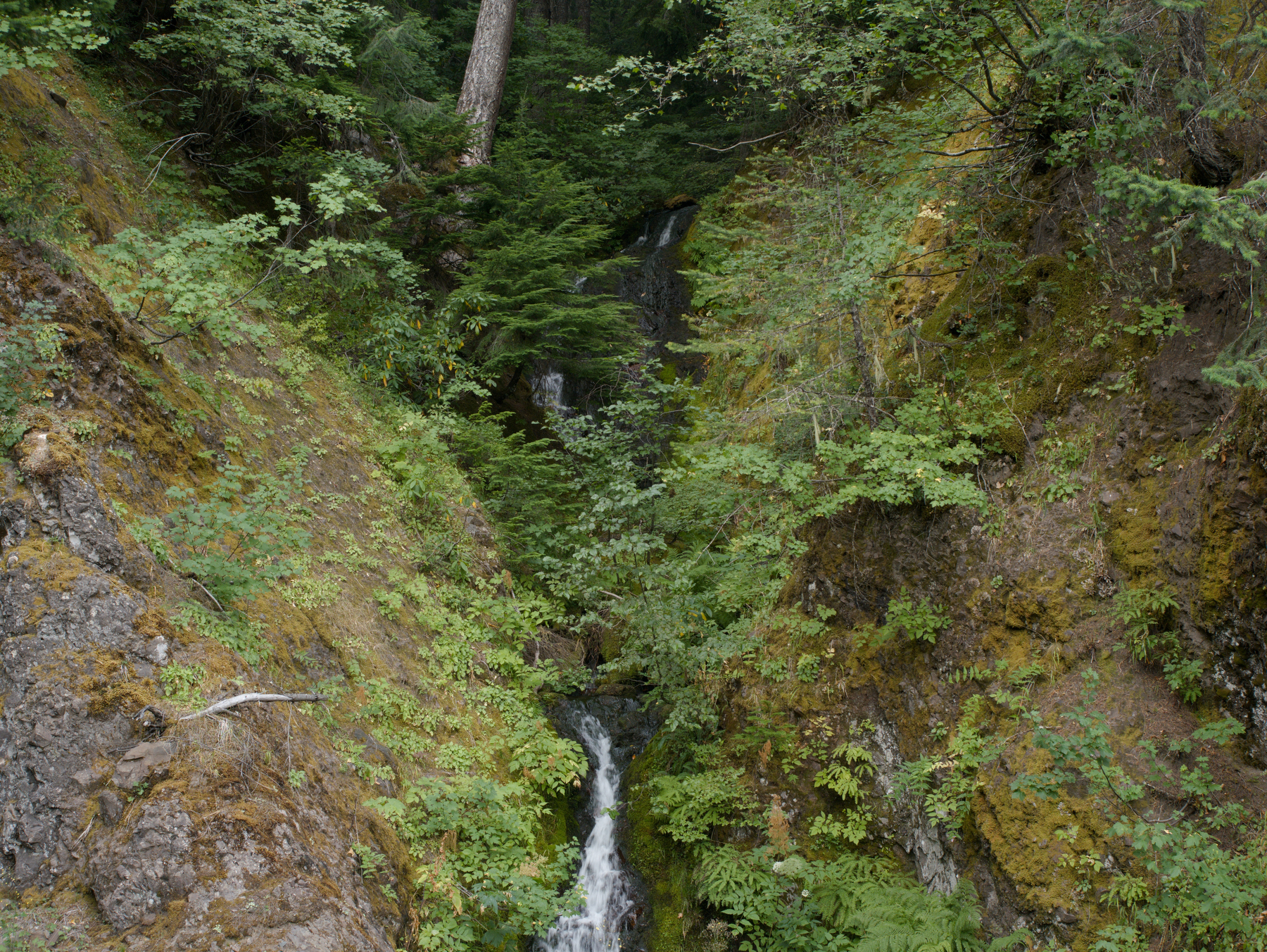
390 ends after about a mile at a spot where the railroad tracks come out of a short tunnel next to a small waterfall. I parked here and started looking for the trailhead, without any success. The Forest Service page says the trail begins above the tunnel, so eventually I just bushwhacked up the crumbly hill and found the trail itself.
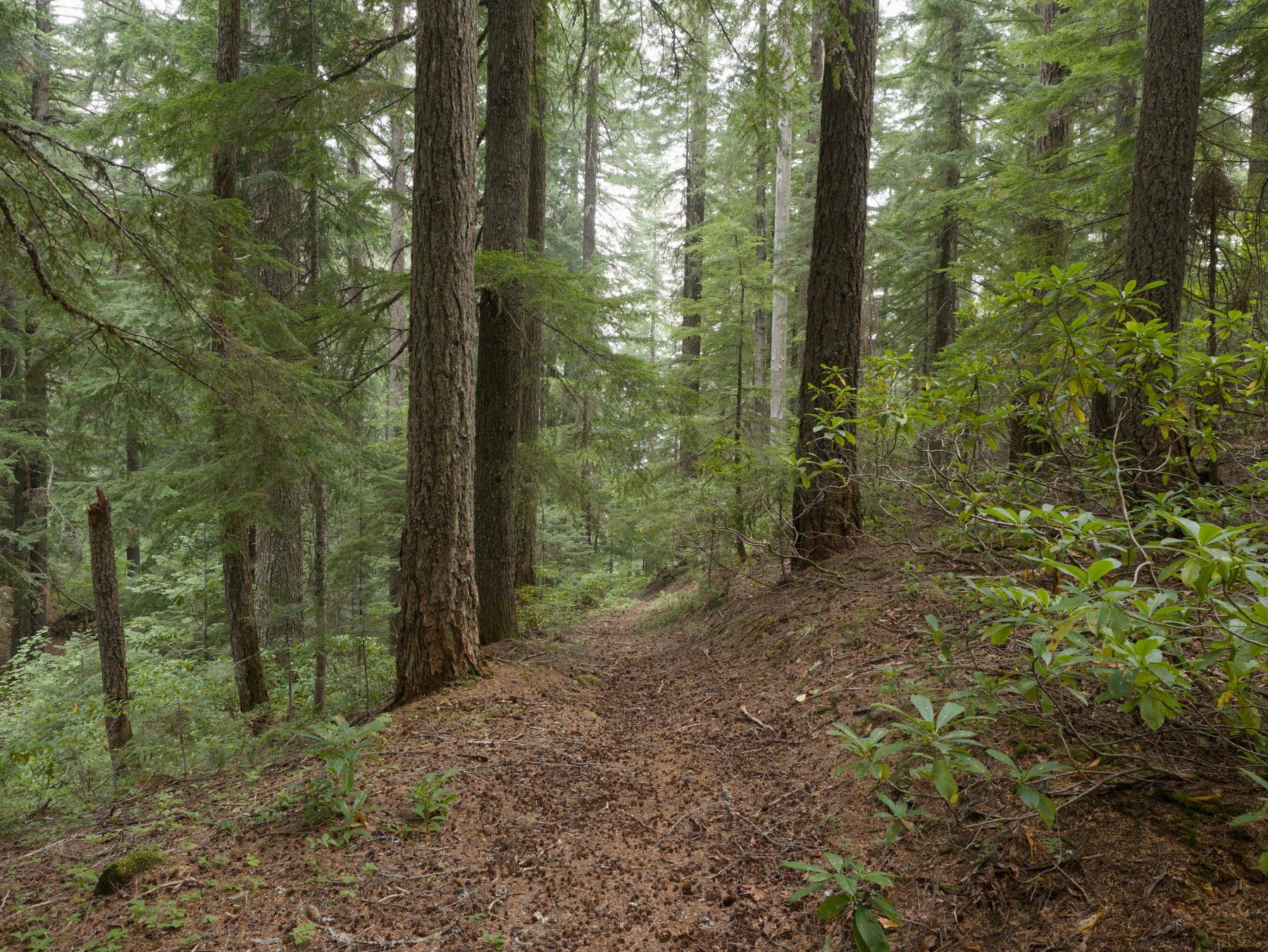
From that point things got easier, because the trail itself is in decent shape, with an obvious trailbed in all but a few spots. It’s largely clear of blowdowns, though none of the cuts look newer than a couple of years old, and alternates between old roadbeds and singletrack. It’s a steady climb with a few steep sections.
The first part of the trail is in the Shady Creek drainage (the creek that leads down to the small waterfall) though mostly it is so far from the creek that it can’t be seen or even heard. Eventually it sidehills towards Judd Mountain and comes out at Devil’s Garden itself, which is sort of a bowl in the hills. The FS says
The word “Devil” is carved into a tree at the edge of the meadow and small lake in the bottom of the canyon are distinctive features of the area
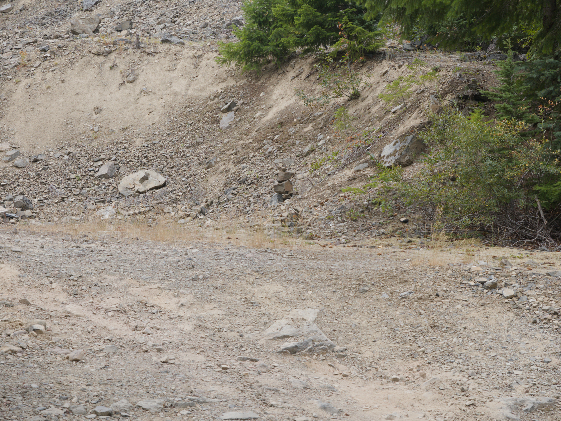
I couldn’t find either the tree or the lake. There is some meadow, but most of the bowl is a solid thicket of alders, willows and other stuff that can’t really be navigated. I had the 1956 topo map along and went a little ways along the route of the older trail to Wolf Mountain. I found a few sections of trail but it’s pretty much gone, so I turned around and went back downhill to my car. I did manage to follow the trail all the way down to the road. The trailhead proves to be on a short spur that is a left turn just before the railroad tracks, marked by a small rock cairn.
All in all, this one wasn’t worth the drive. There are nicer meadows to be had elsewhere in these mountains, and there aren’t any particular sights along the way.
 Trailhead
 Part of the trail
 Devil’s Garden
 Waterfall next to the train tunnel