Black Crater Trail
(with Dee Wright Volcanic Observatory visit)
August 27, 2026
8.3 miles, 2450’ elevation gain
I wanted to get away from the city to try my hand at some lunar eclipse photos, but that wasn’t enough to justify the drive, so I combined it with an afternoon hike up the Black Crater Trail. This one starts at a trailhead on Hwy 242 just east of the Dee Wright Volcanic Observatory, and immediately goes into the Three Sisters Wilderness. The trail doesn’t connect to any others. So though you need a wilderness permit to hike, it’s a self-issue permit with no charge or limits that you just fill out at the trailhead kiosk.
This trail starts at the base of the mountain and goes steadily to the top, so it should be no surprise that it’s a climb all the way (except for a couple of short stretches of level ground or tiny descents dictated by the terrain). Almost all of it is in a 2017 wildfire burn scar. Though trees are starting to come back, the tallest are only around 4 feet, interspersed between miles of still-standing snags. There’s not a lot of shade until you get to a couple small patches of standing timber late in the hike.
From around 2 to 2.5 miles in, the trail crosses the “crater” (actually, an area scooped out by glaciation) but you really can’t tell from the view. Starting about three miles in there are a series of switchbacks to the summit, which is covered with raw lava cinders and a few twisted trees. The views from up here were fairly spectacular, though haze and wildfire smoke meant I could only see north as far as Mount Jefferson, and views to the east were not great. It was also quite windy so I didn’t stay on top for long.
After I got back down to the trailhead, I drove back along Hwy 242 to the Dee Wright Volcanic Observatory. Before switching to photo mode, I hiked the short interpretive trail, which provides a paved path through the lava fields with well-done signs. The Observatory itself is worth a visit too, with its CCC stone construction and sighting windows to allow for easy identification of the major Cascades peaks that can be seen from here.
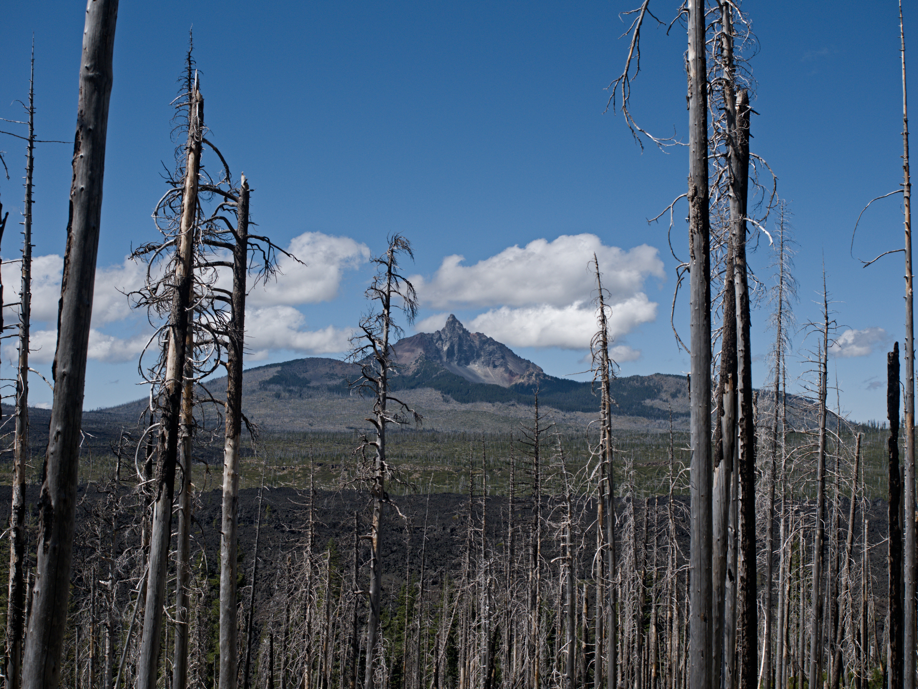 Looking through the burn area towards Mount Washington
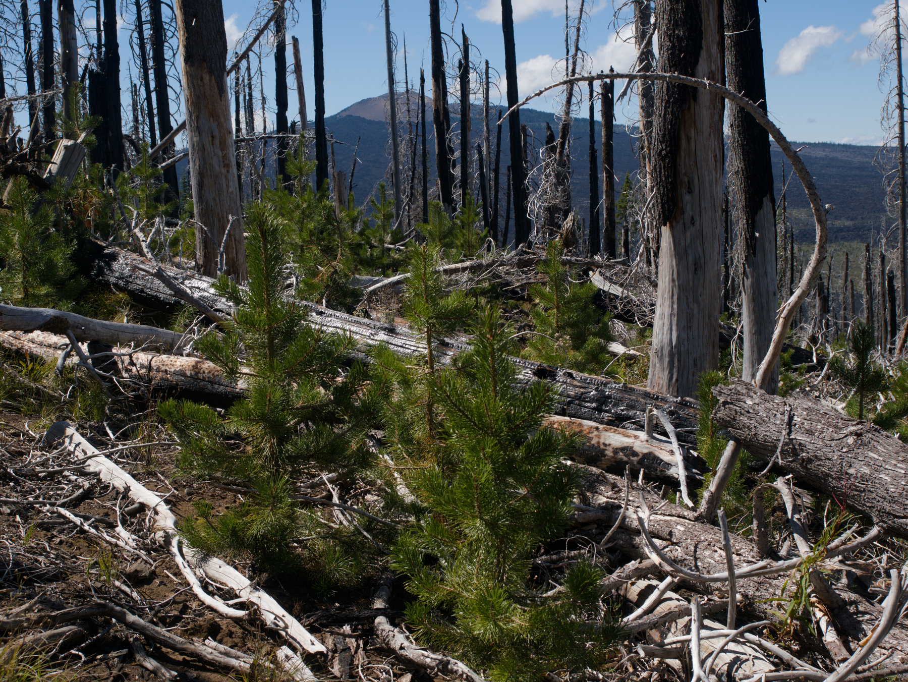 New forest growing up in the ruins of the old
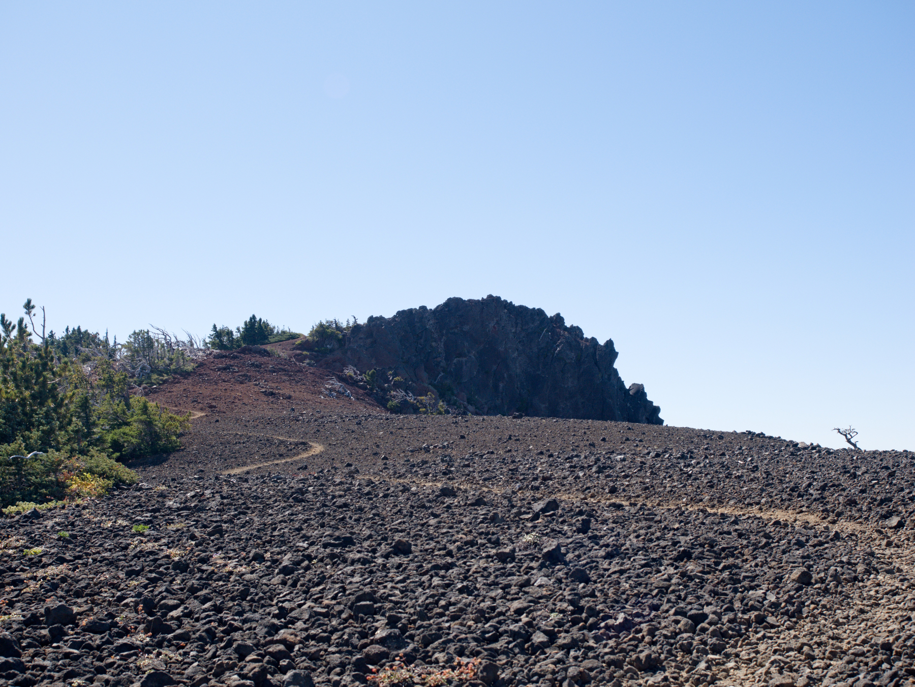 Final stretch of trail to the Black Crater summit
 Looking south from the summit
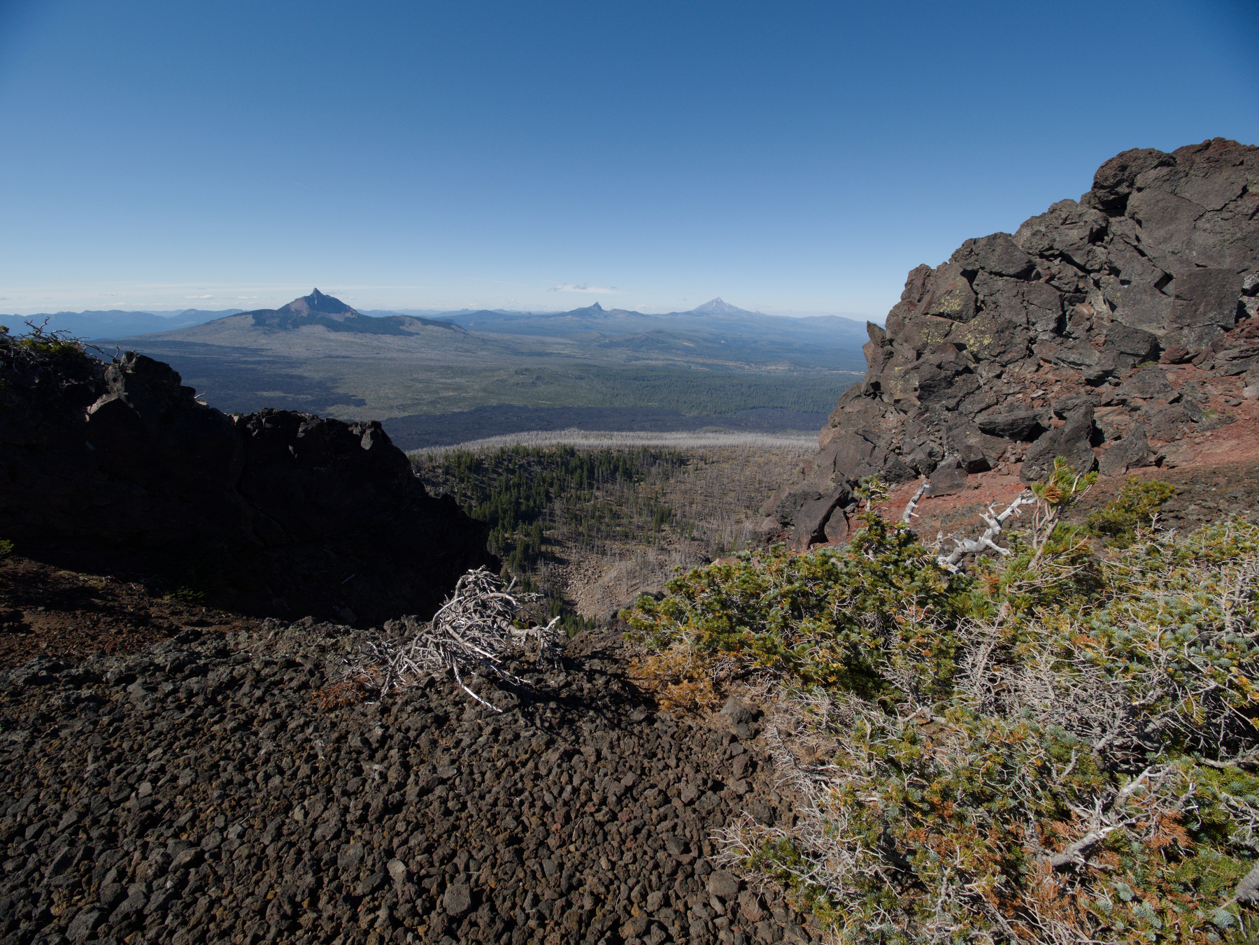 Looking north from the summit
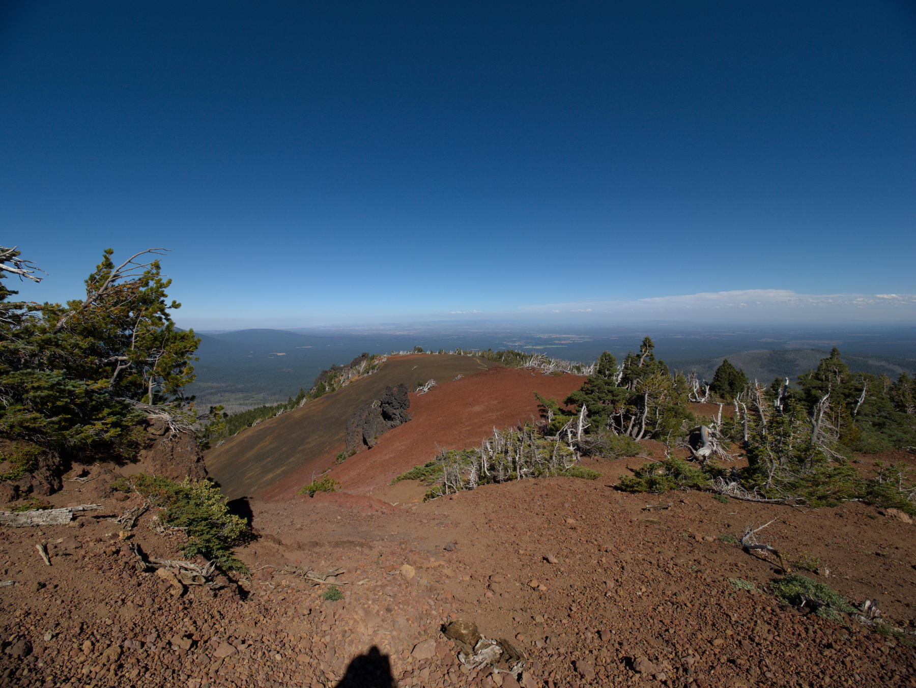 Looking back down the summit ridge to the east
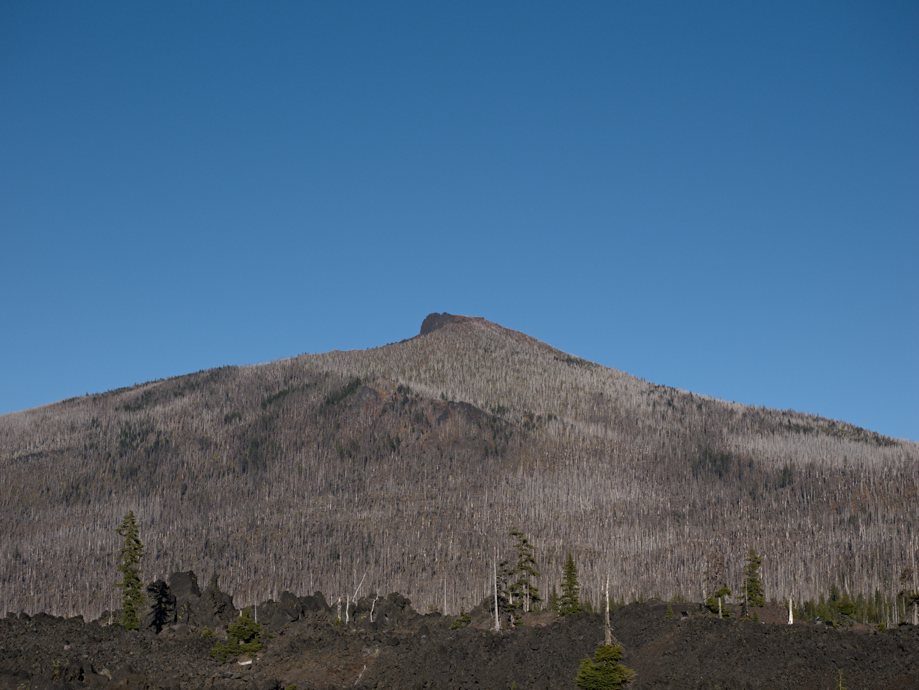 Black Crater seen from Dee Wright Volcanic Observatory
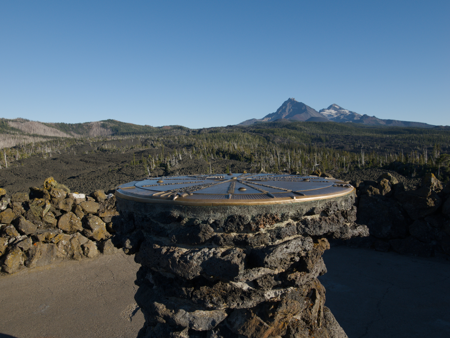 Sighting pedestal on top of Dee Wright Volcanic Observatory
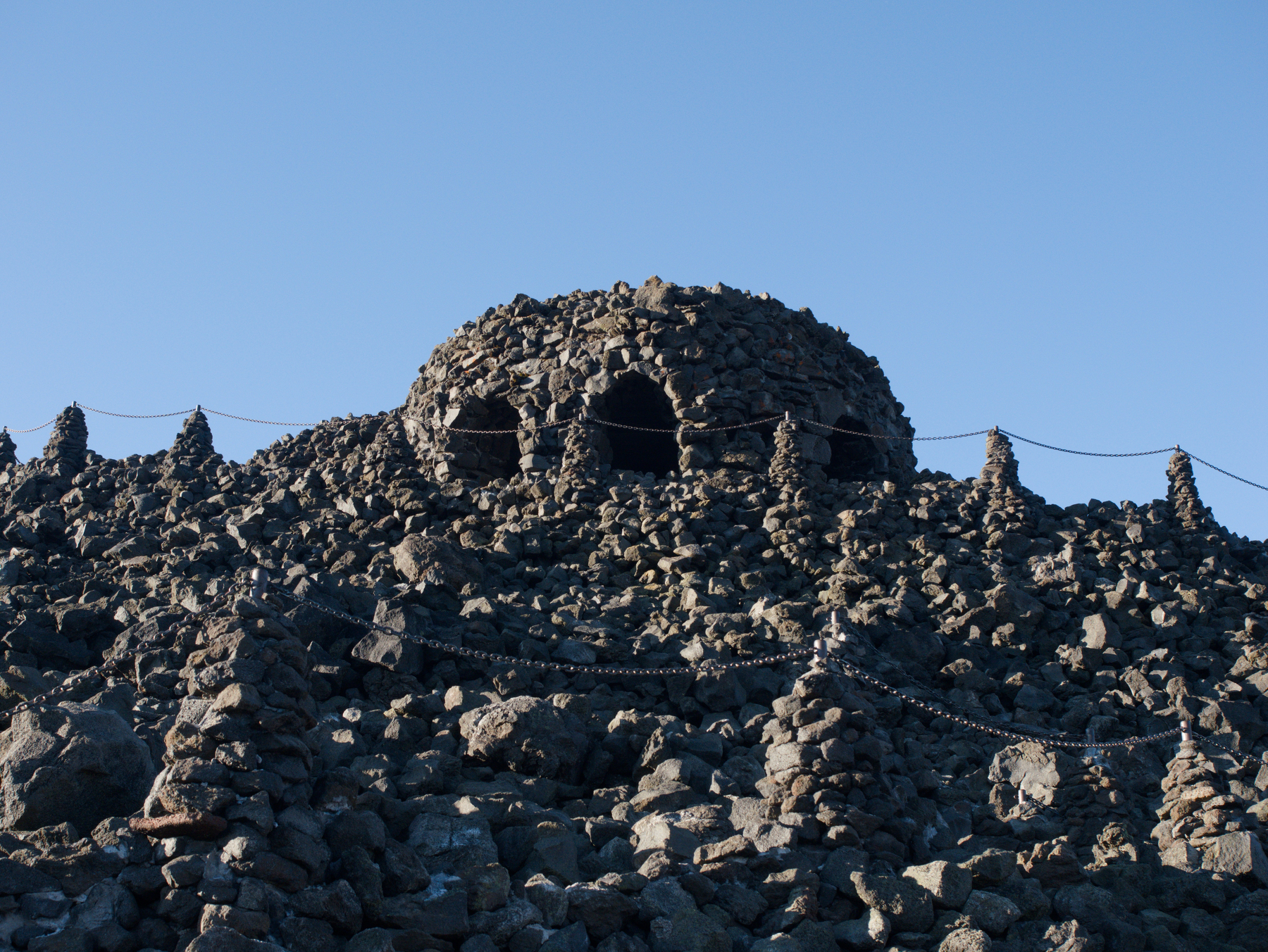 Dee Wright Volcanic Observatory
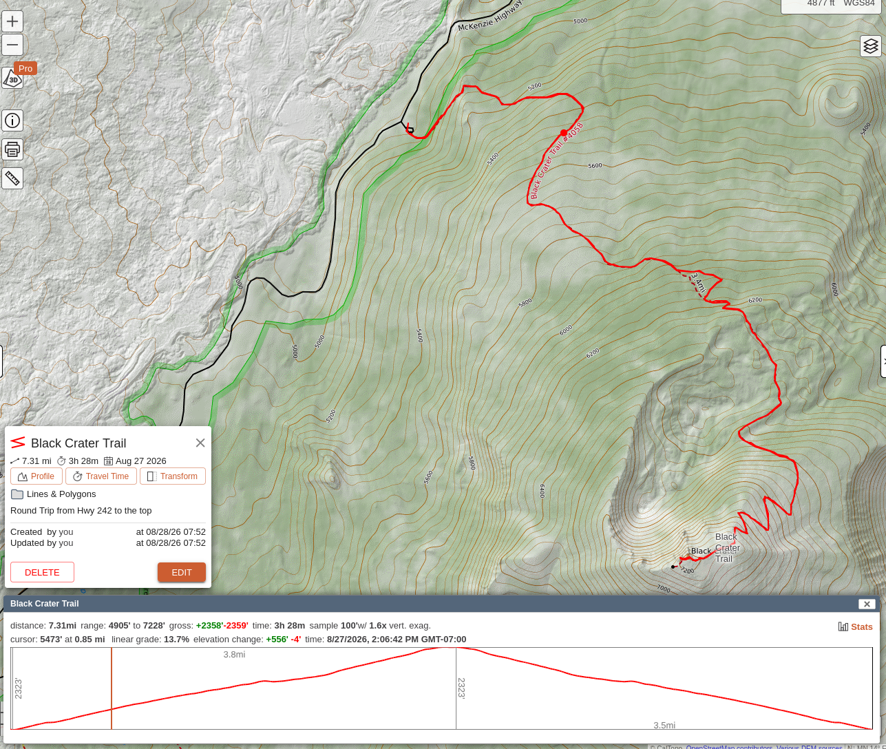 Black Crater Trail