Around Scott Mountain
October 17, 2026
22.1 miles, 3115’ elevation gain
What with Central Cascades Wilderness Permit season being over, and Highway 242 not yet closed for the winter, it seemed like a good time to hit one of the trailheads out that way. After peering at maps for a bit I decided to head for the Benson/Tenas trailhead into the Mount Washington wilderness, and got there just before dawn. My original plan was to start with the Hand Lake Trail, but the lack of signage to distinguish it from trails to the campsites there made me decide instead to head up the Benson Trail rather than risk waking people up.
It was a bit below freezing when I started - fortunately I had a down vest stashed in the car, which provided the extra layer I needed to be comfortable. I kept this on for the first hour or so as I climbed uphill and then took the side trail to Tenas Lakes, where I stopped for some photos and to layer down. Shortly after this I was back on the main trail, turning left at the fork to stay on the Benson Trail.
The next 2.5 miles were steadily downhill, losing about 1200 feet in elevation on the way to the Deer Butte Trail. This section of trail sees far less travel than the first one (which is the direct route to Scott Mountain). The trailbed was still evident, but the beargrass is encroaching heavily. Not many blowdowns though, and enough tracks to show it still gets some use.
At the Deer Butte Trail I took a right and headed towards the north end of the trail. This started off with a little climb and then more mostly-downhill through relatively open forest. There’s one section through a small older wildfire scar where there were a few blowdowns, but overall this was just an easy walk. After tagging the trailhead, I turned around and took sidetrips down short trails to Robinson Lake and Kuitan Lake - both very low with muddy margins. You can really see we’ve been in a drought in this area. I didn’t cross one flowing stream the entire day.
I turned left when I got back to the next trail intersection, the start of the Hand Lake Trail. This continued a long, slow uphill - from the Deer Butte Trailhead it was about 1400 feet up in 5.5 miles. Mostly that was pretty gentle, save for one series of switchbacks to get up a valley headwall. A big chunk of this is across an older wildfire scar from 2010. At that age, many of the snags are coming down, and although there’s clearly been trail maintenance this year, there were dozens of blowdowns. In a few places the trail wasn’t obvious and I had to hunt around a bit to find footprints.
The Hand Lake Trail loops around Scott Mountain, passing Hand Lake (completely dry) and Scott Lake (a puddle) before getting back to the trailhead. There are a few nice views of Mount Washington and the Three Sisters along the way. I was happy to be ending the day with a few miles of downhill.
Overall, I took about 11 hours to go 22 miles - a slow pace, but I took lots of photography and meal breaks.
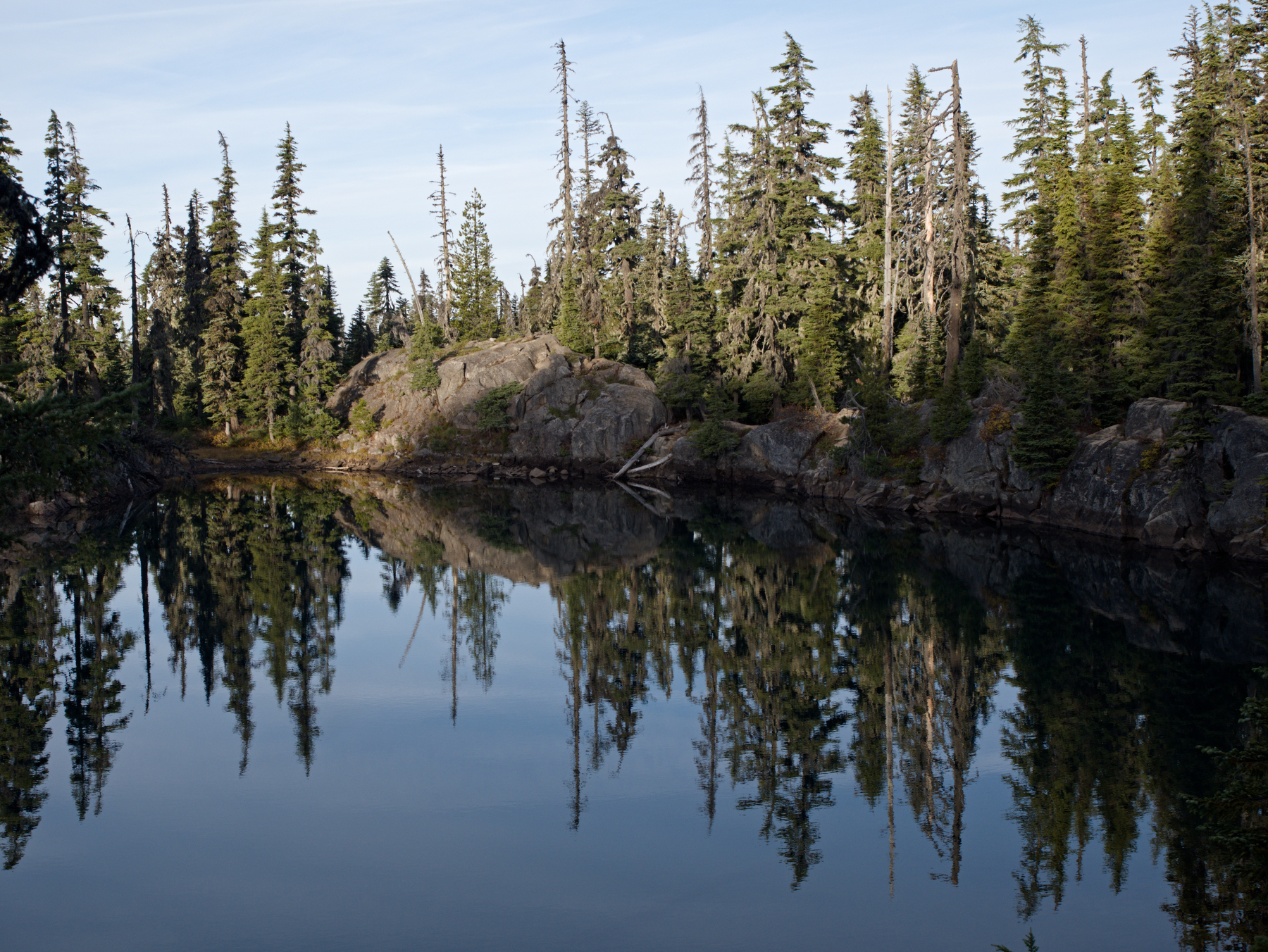 Tenas Lake
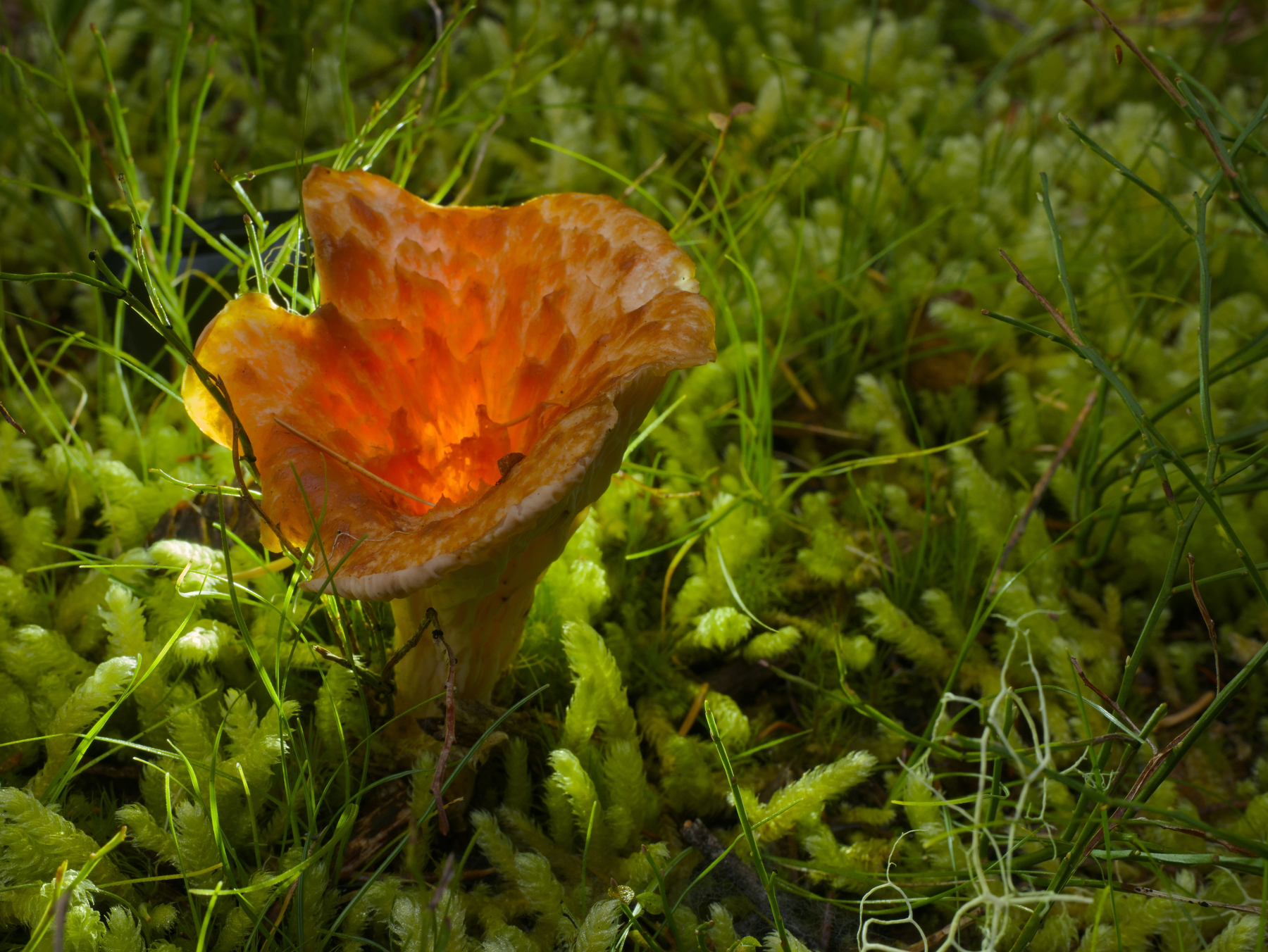 Chanterelle. Taking fungus pictures slowed me down today.
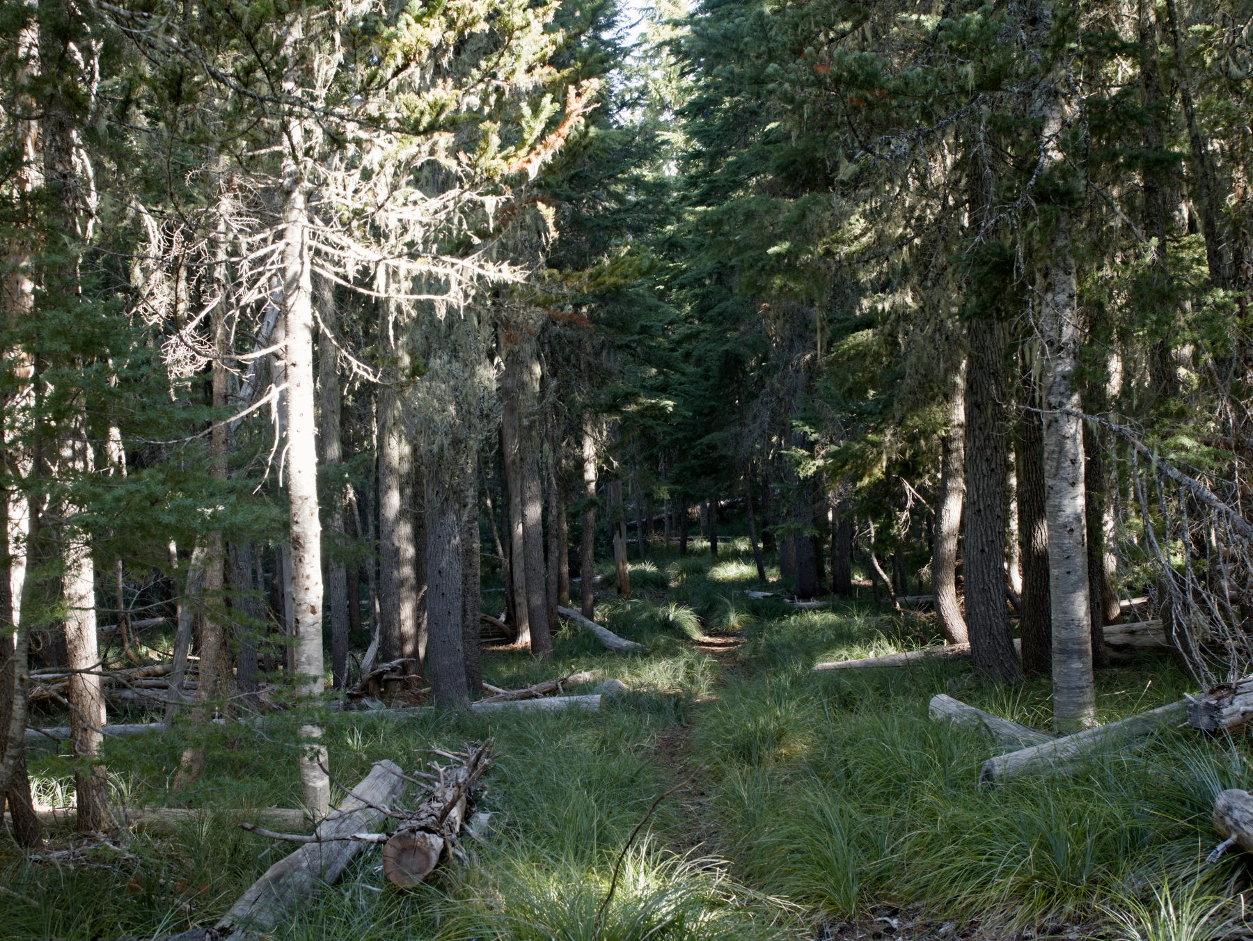 Green tunnel with beargrass carpet along the Benson Trail
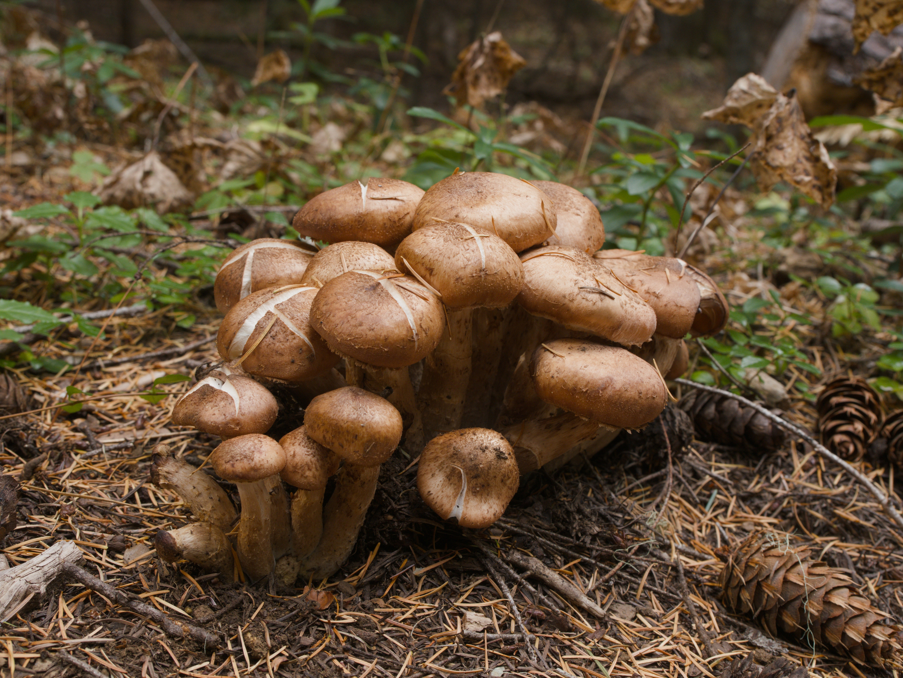 Mushrooms and more mushrooms
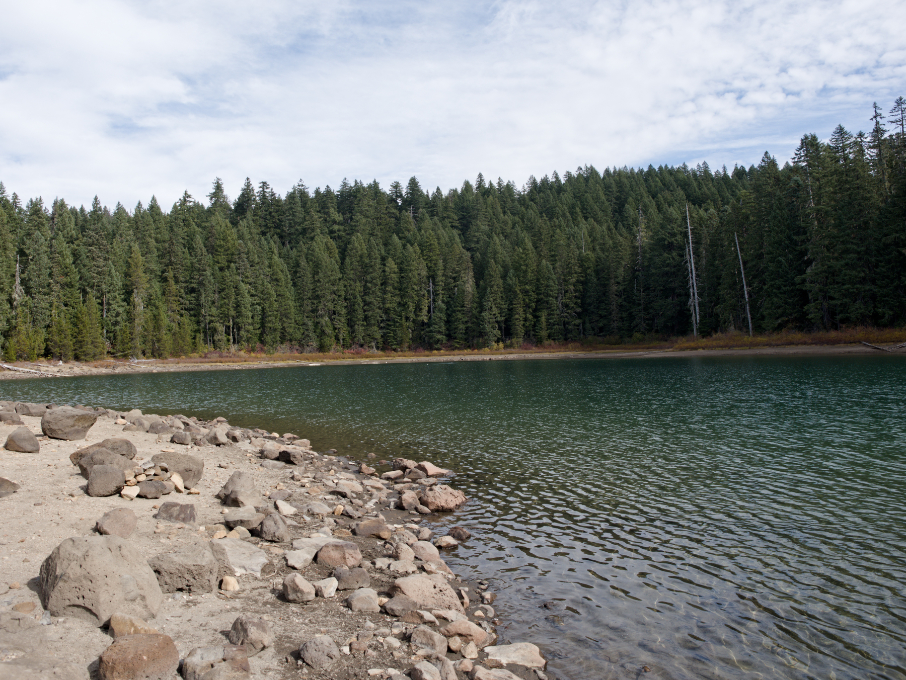 Robinson Lake
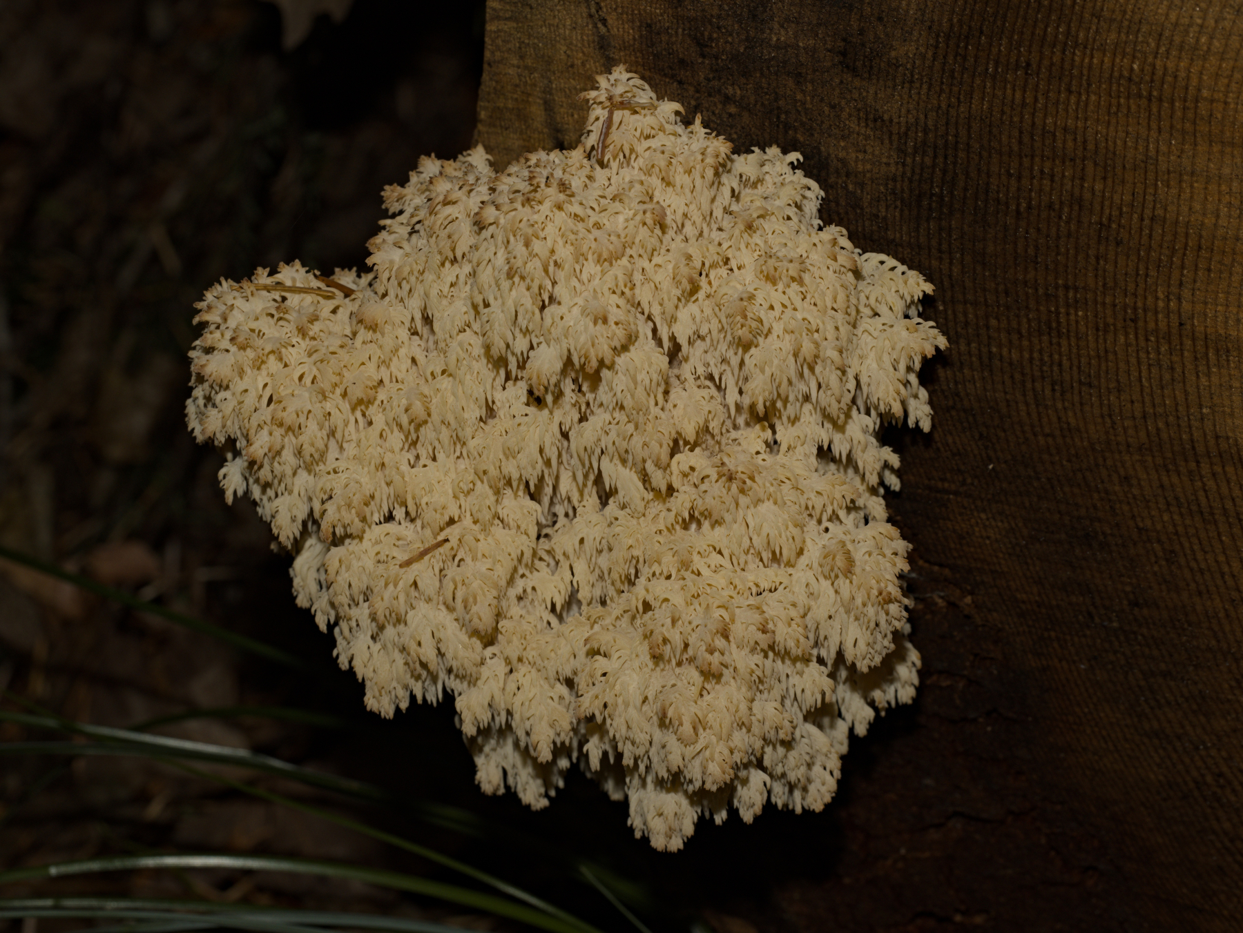 Bear’s Head fungus (I think)
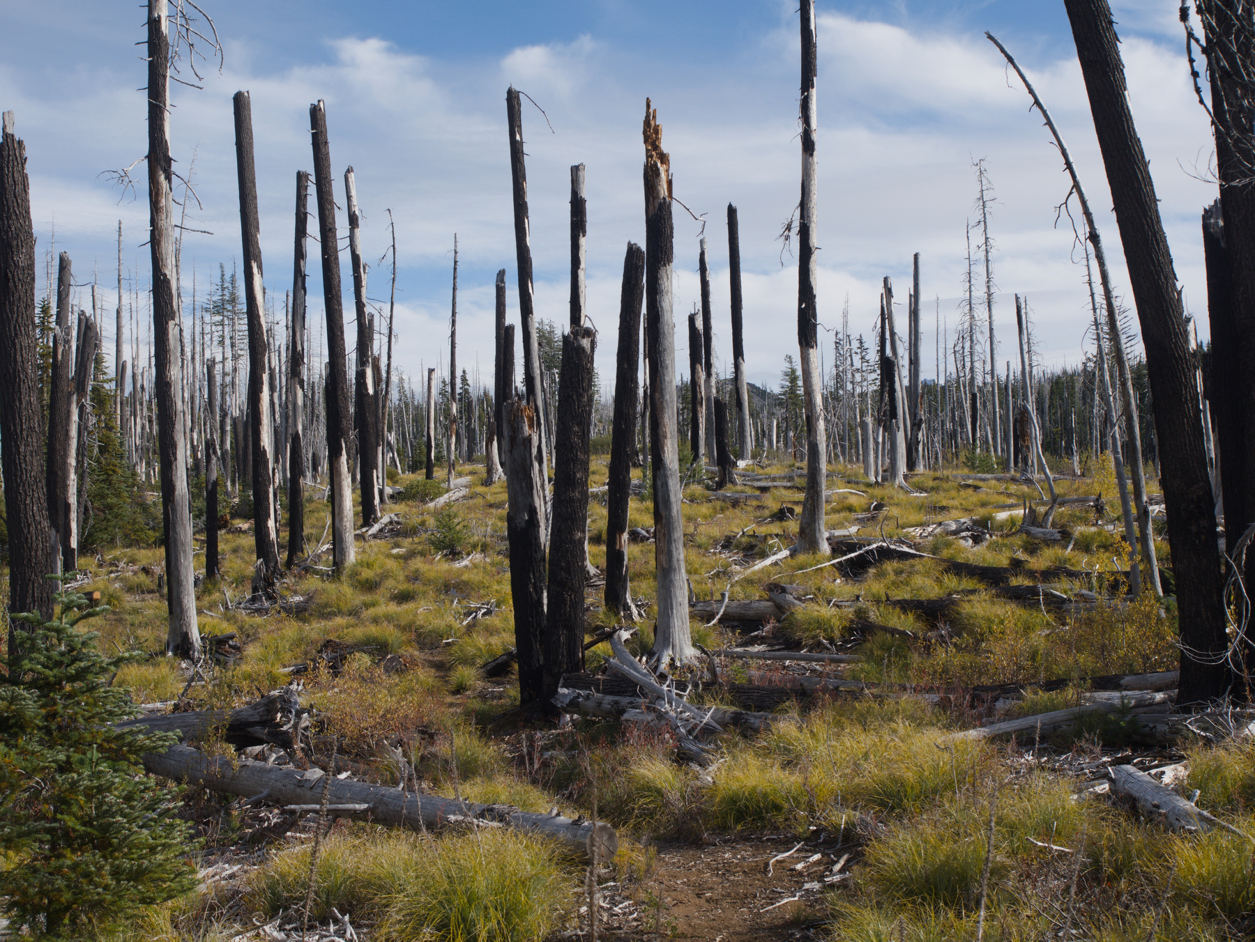 Wildfire scar on the Hand Lake Trail
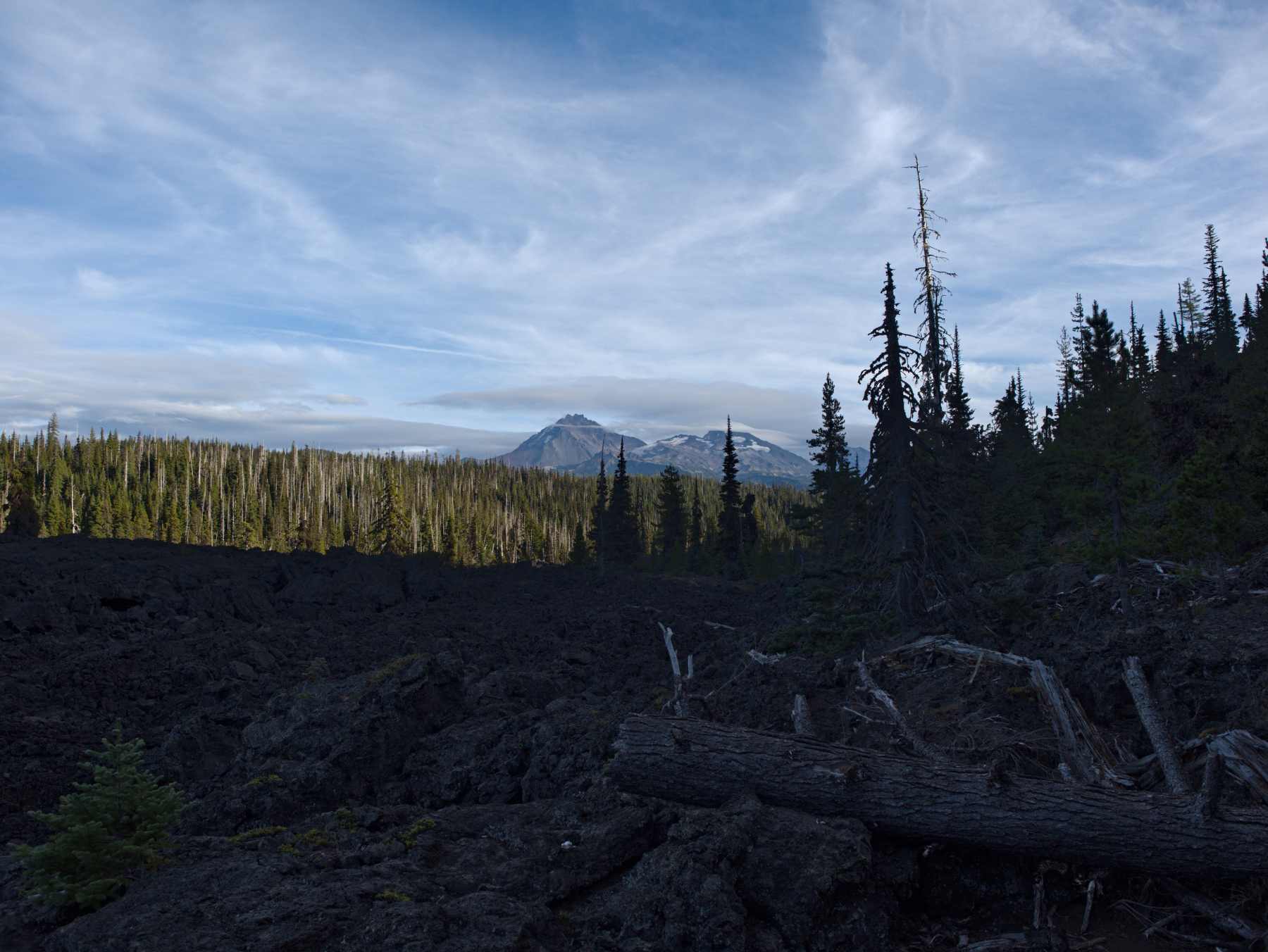 Three Sisters view